
Unbiased headlines. Facts, not spin.
Every story is an unbiased news briefing written from 110+ sources across the spectrum — sources linked so you can verify it yourself.
 health
Notable (5/10)
July 31, 2026 at 05:48 AM
health
Notable (5/10)
July 31, 2026 at 05:48 AM
Satellite Data Shows UK Farmland Turning Brown as Drought Deepens Across Wales and Northern England
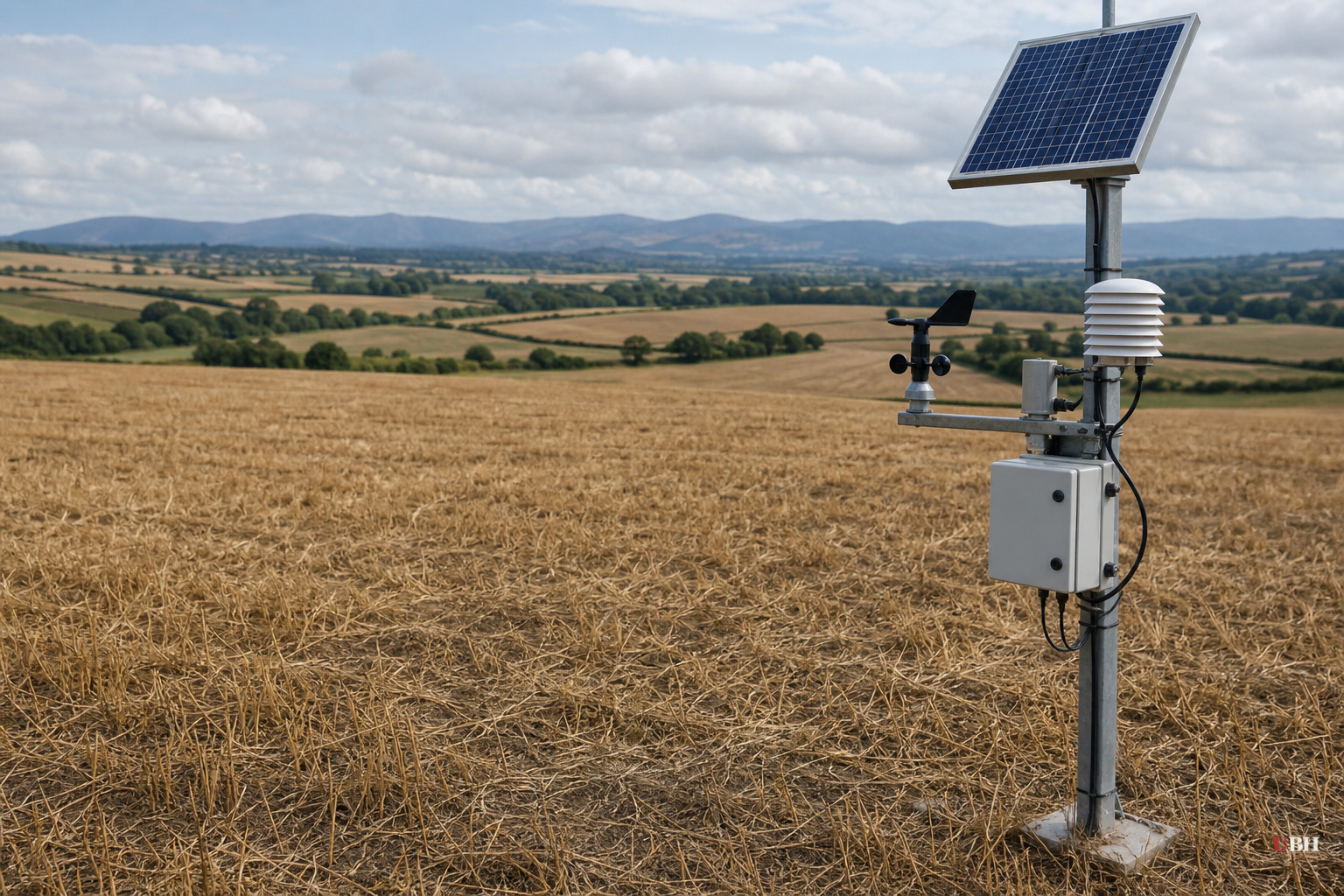
Satellite images confirm what farmers already know: much of the UK is drying out fast
Since this year's drought conditions first began stressing English farmland and pushed water levels down across the country, the picture has kept getting worse. New satellite analysis from BBC Verify now shows just how much ground has turned brown in a matter of weeks.
The data compares UK vegetation health in May 2026 against July 2026 using the Normalised Difference Vegetation Index, a standard measure of plant greenness derived from satellite imagery. The comparison shows the sharpest declines in Conwy, Flintshire, Denbighshire and Merseyside, where fields that were green and healthy in May now show what BBC Verify describes as extensive vegetation stress, with light brown tones replacing the previous patchwork of grassland.
Smaller pockets of stress also showed up around Peterborough, Lincolnshire, and parts of mid and east Devon, where fields appear noticeably browner than they did in May, according to the same analysis.
Not every part of the country looks the same. Upland Britain, including much of Scotland's highlands and the Welsh mountains, has stayed close to normal, and in some spots even appears slightly greener than usual, per the satellite data. This split shows the drought isn't uniform across the nation. It's hitting lowland farming regions hardest while higher elevations, with different soil and rainfall patterns, are holding up.
Why brown doesn't mean dead, but it's still bad news
Dr. Jess Neumann, an associate professor at the University of Reading, told BBC Verify that some summer browning is normal, but the scale of dry grass showing up in parks, lawns and gardens this year is unusual. Neumann also noted British plants aren't built for prolonged drought the way Mediterranean vegetation is, since the UK's ecosystem evolved around a wetter, more consistent rainfall pattern.
Grass, shrubs and some trees can bounce back once rain returns, as long as their root systems are intact. But the analysis flags a real risk: falling groundwater levels during extended dry spells strip away a backup water source that deep-rooted plants and trees rely on when surface soil dries out. If groundwater keeps dropping, recovery gets harder even after rain shows up.
There's also a counterintuitive twist worth considering. Ground that's been baked hard by weeks of heat doesn't absorb water well when rain finally arrives. Instead of soaking in, water runs off the surface, which raises the odds of flash flooding right after a drought breaks. That's not speculation. It's basic soil science, and it means the drought's end could bring its own hazard.
What triggered this and why it's called a "flash drought"
The speed of this drought is what stands out most. Early spring 2026 conditions, river flows, soil moisture and reservoir levels were generally normal or above normal after a wet start to the year. Then repeated heatwaves pulled moisture out of soil and vegetation through evaporation fast enough to flip the picture entirely within a couple of months.
That rapid swing is exactly why farmers and water companies are worried. A slow-building drought gives everyone time to plan rationing, adjust planting, and manage reservoirs. A flash drought doesn't. It hits agriculture and water supply planning with much less warning.
The stakes for farming and water supply
The practical concern here isn't abstract. Vegetation stress at this scale is likely to hit crop yields and livestock feed availability in affected regions, which flows directly into food prices and farm incomes. Scientists cited in the analysis also warn that the UK faces a growing long-term risk of water shortages, driven by both climate patterns and rising demand from a growing population and economy.
This is a case where the data is genuinely nonpartisan. Satellite imagery doesn't have a political lean, and the NDVI measurements are a standard scientific tool used well beyond climate advocacy circles, including by agricultural economists and insurers who need hard numbers on crop risk. Whatever the cause of any particular hot, dry summer, the on-the-ground consequence for a Welsh sheep farmer or a Lincolnshire grain grower is the same: less water, stressed fields, and a harder autumn.
What's still unresolved is how much of this drought reverses if autumn rains arrive on schedule, and how much lasting damage has already been done to groundwater reserves that took years to build up. The Environment Agency and regional water companies have not yet published updated reservoir and aquifer figures reflecting the July conditions shown in this satellite data, so the full scale of the water shortage risk for winter 2026 remains an open question.
Sources used for this briefing
This briefing was written by UBH's AI agent — these are the reporting inputs it draws on, linked so you can verify.


