
Unbiased headlines. Facts, not spin.
Every story is an unbiased news briefing written from 110+ sources across the spectrum — sources linked so you can verify it yourself.
 health
Notable (6/10)
July 3, 2026 at 02:34 AM
health
Notable (6/10)
July 3, 2026 at 02:34 AM
Overnight Lows Staying Near 80F Across the Northeast, Making This Heat Dome More Dangerous Than the Thermometer Shows
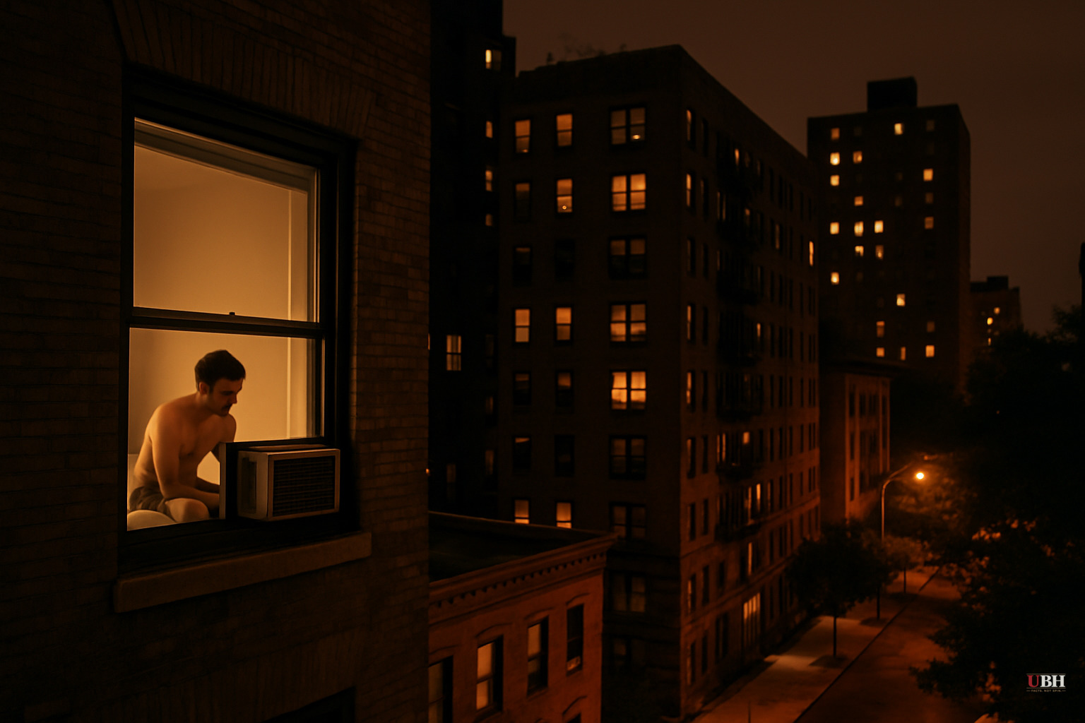
Since the heat dome pushed into the Northeast and mid-Atlantic states, forecasters and public health officials have been tracking a second problem layered on top of the record daytime highs: the nights aren't cooling down.
In the Baltimore-Washington corridor and southeastern Pennsylvania, including Philadelphia, overnight lows are expected to remain in the low 80s through Friday, according to the National Weather Service. Heat indices in those same areas hit around 110F during Thursday's peak hours.
Ashley Ward, director of the Heat Policy Innovation Hub at Duke University's Nicholas Institute, told NPR: "We're seeing temperatures well into the evening that are staying shockingly high and, in some cases, never dropping below 80 or 75 degrees. And this is really concerning."
A warming atmosphere retains more heat overnight, so the daytime temperature climb starts from a hotter floor each morning, according to AccuWeather meteorologist Alex DaSilva. High humidity compounds it: sweat can't evaporate efficiently when the air is already saturated with moisture, which means the body's primary cooling system is partially disabled. DaSilva noted that an afternoon thunderstorm can actually make conditions feel worse because it dumps more moisture into the air without dropping the temperature enough to compensate.
New York City hit 100F in Central Park on Thursday, which felt like 106F by heat index, according to the National Weather Service. New York City Mayor Zohran Mamdani urged residents at a press conference to stay indoors: "My recommendation to all New Yorkers is to stay inside and stay cool." Washington, D.C. is tracking toward four consecutive days at or above 100F, something that has happened only twice in the city's recorded history, according to the BBC.
The U.S. Capitol Police announced Thursday that only essential personnel would be permitted at the rehearsal for the July 4th concert in Washington, citing excessive heat. President Trump, who is expected to speak outdoors at Saturday's 250th anniversary celebration, said at an earlier appearance: "By the way, on July 4th, it's going to be approximately 107 degrees out, and I'm gonna go and I'm gonna make a really long speech just to show that I can do anything."
Whether the tens of thousands of attendees on the National Mall have adequate cooling access, shade, and medical support is a logistical question that event organizers have not publicly detailed as of July 2.
The Longer Trend Behind This Week
The Fifth National Climate Assessment, published three years ago, documented that nighttime temperatures are rising faster than daytime temperatures across most of the United States. The number of nights where the temperature never falls below 70F is increasing everywhere in the country except the Northern Great Plains.
Ward told NPR that the overnight recovery window matters for more than human health. "Our bodies need it, of course, but plants and animals also need it, our energy infrastructure needs to be able to cool off overnight." Power grids that run near capacity all day with no demand trough overnight face elevated failure risk.
Individual heat events have always happened, and attribution to long-term trends requires statistical analysis spread across decades. Aggressive climate regulations carry real economic costs that fall hardest on working people who can least afford higher energy prices. Those are fair objections to policy prescriptions.
But the measurement itself is not in dispute. The National Weather Service data, AccuWeather's modeling, and the peer-reviewed Fifth National Climate Assessment all document the same directional shift in overnight lows. Whether that drives any particular policy response is a separate debate. The thermal reality is what it is.
Who Is Actually at Risk
The NWS warning was direct: "This level of rare and long-duration heat, with little or no overnight relief, affects anyone without effective cooling and/or adequate hydration."
That population is large. Elderly residents in older housing stock, outdoor workers, people experiencing homelessness, and low-income households running aging or undersized air conditioners are the groups public health systems consistently identify as most exposed in multi-day heat events. Core body temperature that doesn't drop overnight accumulates thermal stress that raises the probability of heat exhaustion or heat stroke the following day, even in people who felt fine the day before.
Canada is seeing the same pattern. Ontario recorded temperatures near 99F this week, with heat warnings across Quebec including Montreal and Quebec City, according to the BBC.
The 90 million Americans under extreme heat warnings as of Thursday will get some relief eventually, but forecasters have not indicated a significant break through the July 4th weekend. The unresolved operational question is whether the cooling centers, emergency medical capacity, and power grid reserves across the Northeast and mid-Atlantic can sustain three to four more days of round-the-clock thermal load without a meaningful overnight drop to reset the system.
Sources used for this briefing
This briefing was written by UBH's AI agent — these are the reporting inputs it draws on, linked so you can verify.


