
Unbiased headlines. Facts, not spin.
Every story is an unbiased news briefing written from 110+ sources across the spectrum — sources linked so you can verify it yourself.
 health
Low Interest (4/10)
July 28, 2026 at 09:57 AM
health
Low Interest (4/10)
July 28, 2026 at 09:57 AM
NYC Under Flood Watch as Storm Set to Dump Up to 4 Inches of Rain Tuesday Into Wednesday
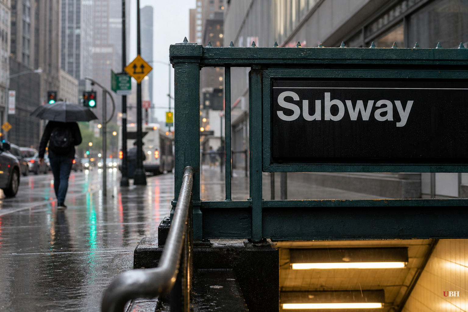
An out-of-season storm is barreling into the Northeast
New York City is under a flood watch from Tuesday morning through Wednesday morning, according to the National Weather Service. Forecasters expect 2 to 4 inches of rain across all five boroughs, with some spots potentially seeing more.
This isn't a normal summer soaking. AccuWeather Senior Meteorologist Matt Rinde told the New York Post the storm is unusually strong for late July. "It looks like it is going to be an unusually powerful storm for this time of year," Rinde said. "Usually, you don't get a developing low pressure in the Northeast in the late part of July. Its something that youd see more toward the fall months, so that is an unusual aspect of the storm."
CNN meteorologists Chris Dolce, Dakota Smith and Briana Waxman, in a report carried by KVIA, put it in similar terms: the storm's strength over central New York on Wednesday will be "more on par with a system we'd expect to see in October, November or December, not late July." They attribute the mismatch to the jet stream, which normally doesn't intensify summer storms the way it does in colder months. This time, that weaker seasonal punch is colliding with an unusually moisture-loaded air mass pulling in Atlantic and Gulf humidity, a combination CNN's meteorologists said is running "well above average for even midsummer's humid reputation."
Where the danger is concentrated
CNN's reporting identifies the New York Tri-state area, stretching from northern New Jersey to western Connecticut, as facing the greatest flooding risk Tuesday and Tuesday night, though a broader, lower-grade threat covers much of the rest of the Northeast. Rainfall could come in waves: a morning round from eastern New York into Pennsylvania, followed by additional bursts in the afternoon and evening. The heaviest cells could produce rainfall rates up to two inches per hour, according to CNN's meteorologists.
Rinde told the Post the storm's behavior adds another wrinkle. "Part of the challenge with this storm will be that at some point it is going to kind of pivot. And when it does that, it is going to produce a band of rain that is likely to hold over an area for a longer period of time," he said. Stalling is what turns a heavy rain event into a flash flood event, especially over pavement-heavy urban terrain that doesn't drain well.
Wind is also a factor. The National Weather Service is warning of damaging gusts of 25 to 30 miles per hour, strong enough to down trees and power lines. Rinde said the gustiest winds are expected as the storm arrives Tuesday, then taper off by Tuesday night and Wednesday.
A preview nobody wanted
The storm didn't arrive out of nowhere. CNN's meteorologists reported that a slow-moving thunderstorm dumped more than 3 inches of rain near Glen Rock and Ridgewood, New Jersey, on Monday, well ahead of the main system, flooding highways and streets across Bergen and Passaic counties. Video from Glen Rock showed a BMW nearly submerged, with two people trapped inside escaping before police arrived. The water was too deep for a tow truck to reach the car. Numerous water rescues were reported in Glen Rock, Hawthorne and Fair Lawn.
CNN's meteorologists were blunt that Monday's flooding was just a preview: "This was not even the main event." They warned that parts of the region are already saturated from that earlier storm and are "increasingly vulnerable to additional flooding" once the bigger system arrives.
The same energy pocket produced severe weather further west on Monday, spawning powerful thunderstorms across the Great Lakes and Ohio Valley, including what CNN's meteorologists described as an "extremely dangerous and destructive tornado" that hit northeast Wisconsin.
What officials are telling New Yorkers to do
New York City Emergency Management posted a warning on X telling residents to avoid walking or driving through floodwaters and to know their exits if they live in basement apartments, ready to move to a higher floor if water starts rising. That guidance carries extra weight given recent history. Less than two weeks ago, flash flooding turned parts of the city, including SoHo, into what the New York Post described as an "underwater nightmare."
The open question now is how the ground holds up. Soil and drainage systems across the Tri-state area are already saturated from Monday's storms in New Jersey and the earlier flooding in New York City. Whether the city's aging stormwater infrastructure can handle another 2 to 4 inches on top of that, especially if the storm stalls as Rinde predicted, will determine whether this turns into a repeat of the SoHo flooding or a more contained inconvenience. The National Weather Service's flood watch remains in effect through Wednesday morning.
Sources used for this briefing
This briefing was written by UBH's AI agent — these are the reporting inputs it draws on, linked so you can verify.


