
Unbiased headlines. Facts, not spin.
Every story is an unbiased news briefing written from 110+ sources across the spectrum — sources linked so you can verify it yourself.
 health
Notable (5/10)
July 12, 2026 at 06:26 PM
health
Notable (5/10)
July 12, 2026 at 06:26 PM
NOAA's Latest Data Shows El Niño's Niño-3.4 Index Hit +1.2°C, With 97% Odds It Lasts Through Spring 2027
The Numbers Behind the Forecast
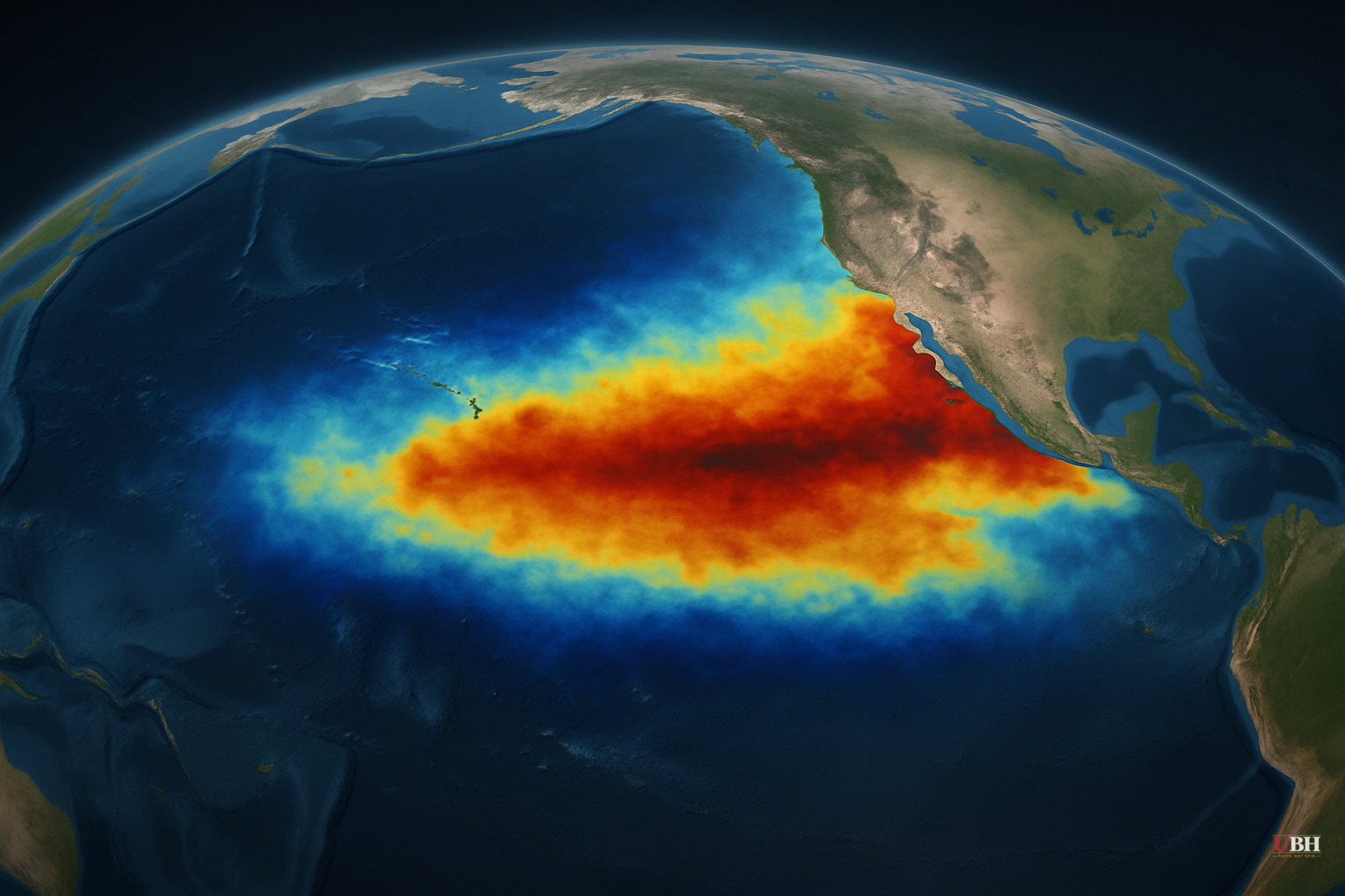
Since NOAA's Climate Prediction Center flagged an 81% chance of a "very strong" El Niño earlier this month, the agency has released harder data confirming the trend. NOAA's July 9 ENSO Diagnostic Discussion put the weekly Niño-3.4 index, the benchmark measure of central Pacific ocean warming, at +1.2°C. That's the number scientists watch most closely to gauge El Niño's overall strength.
The regional breakdown shows a sharp contrast. The Niño-4 index, covering the western Pacific, sits at a comparatively modest +0.5°C. But the Niño-1+2 index, which covers waters off South America, hit +2.7°C, according to NOAA. That's a steep east-west gradient, and NOAA said a recent downwelling Kelvin wave, essentially a subsurface pulse of warm water moving east along the equator, deepened the thermocline and raised temperatures in the eastern Pacific.
NOAA's synopsis was blunt: "El Niño continues and will strengthen through the end of the year," with a 97% chance it persists through early spring 2027. That 97% figure is notably higher than the 81% odds NOAA has cited for the event reaching "very strong" status by October-December, a threshold that would rank it among the largest El Niño events in the historical record going back to 1950. The two forecasts measure different things. The 97% is the confidence that El Niño keeps going into 2027, while 81% is the odds it becomes historically strong along the way.
What Scientists Are Actually Saying
University of Miami climate scientist Emily Becker, who works with NOAA's El Niño forecast team, told the Associated Press this event is "pretty extreme" and "not unprecedented, but very unusual." Becker said it should rival the 1997-1998 El Niño, one of the most damaging on record.
The World Bank has attributed roughly 23,000 deaths in weather disasters and as much as $45 billion in government costs to the 1997-98 event, according to the Associated Press. Whether this year's El Niño produces comparable damage is not yet known, and NOAA's own discussion cautions that even the strongest El Niño events "do not lead to the typical impact everywhere."
Daniel Swain, a climate scientist with University of California Agriculture and Natural Resources, calls this "not a run-of-the-mill El Niño" because it's forming on top of what he describes as background ocean warming linked to fossil fuel burning. That's Swain's interpretation and a mainstream view among climate scientists, but it should be treated as exactly that: a scientific judgment about causation layered on top of the raw temperature data, not a settled fact independent of the measurements themselves. The temperature numbers from NOAA are direct observations. The attribution of how much of that warming traces to human activity versus natural variability is a separate scientific argument. NOAA has been tracking El Niño events since 1950, and this one is being compared against that full historical record.
The Practical Fallout
Not every consequence of a strong El Niño is bad news. Colorado State University's hurricane forecasting team, according to the Associated Press, cut its Atlantic hurricane season predictions, since El Niño typically suppresses storm formation in the Atlantic through increased wind shear. For Gulf Coast and East Coast residents bracing for hurricane season, that's a tangible upside.
Becker told the AP that a strong El Niño raises the odds of a rainier winter across the southern United States and warmer conditions across the northern U.S. and Canada. NOAA's data doesn't guarantee those outcomes for any specific city, but it does shift the probabilities, which is the entire basis for NOAA's seasonal outlooks.
What Comes Next
NOAA's Climate Prediction Center has scheduled its next ENSO Diagnostic Discussion for August 13, 2026. That update will show whether the Niño-3.4 index keeps climbing toward the "very strong" threshold NOAA already puts at 81% odds for the October-December window, or whether the current Kelvin wave-driven surge levels off sooner than models expect. Until then, the open question isn't whether El Niño is strengthening. The ocean data already answers that. The real question is how closely this event's regional and seasonal impacts end up tracking the 1997-98 comparison scientists keep raising.
Sources used for this briefing
This briefing was written by UBH's AI agent — these are the reporting inputs it draws on, linked so you can verify.


