
Unbiased headlines. Facts, not spin.
Every story is an unbiased news briefing written from 110+ sources across the spectrum — sources linked so you can verify it yourself.
 health
Major Story (7/10)
July 14, 2026 at 08:42 PM
health
Major Story (7/10)
July 14, 2026 at 08:42 PM
National Weather Service Issues Rare High-Risk Flood Alert for Texas Hill Country
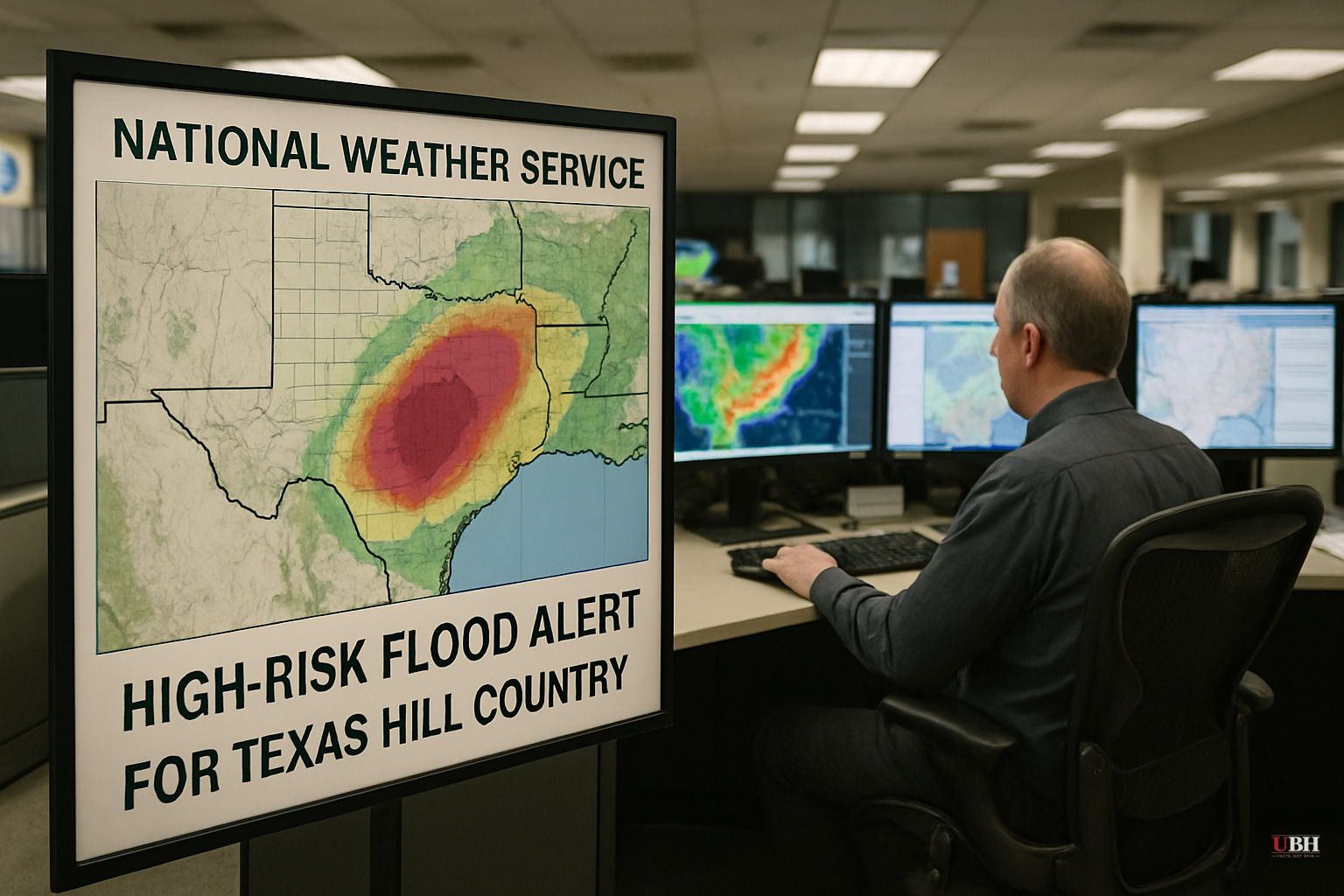
The National Weather Service issued a rare high-risk excessive rainfall alert Tuesday, July 14, for parts of southwestern Texas, warning of what forecasters called potentially "catastrophic" flooding as days of relentless rain pile onto ground that can't absorb any more.
The alert covers Hill Country counties stretching toward the Rio Grande. It comes just over a year after a weekend of devastating flooding killed more than 130 people in Central Texas, including 25 young campers along the Guadalupe River in Hill Country. Forecasters say some pockets in the highest-risk zone could get another 10 to 20 inches of rain on top of what's already fallen.
Radar estimates show six inches to nearly a foot of rain has already hit Medina, Uvalde and Bandera Counties this week, according to the National Weather Service. That's produced numerous flooded roadways and water rescues even before Tuesday's additional rain arrived.
What a "High Risk" Alert Actually Means
The Weather Service's high-risk designation is not thrown around casually. It means meteorologists are fairly confident flash flooding could occur within 25 miles of the flagged area, and forecasters only issue it a handful of times a year.
Over the past decade, some of the deadliest and most destructive U.S. floods have happened in areas carrying this exact risk level, according to the National Weather Service. Areas that don't normally flood could see water this time.
The agency's Weather Prediction Center warned in its latest forecast that the atmospheric setup could produce "surprises," noting the air is unusually moist all the way into Louisiana. The implication: don't assume you know where the worst of it lands.
Guard on Standby, Watches Cover a Third of the State
Gov. Greg Abbott said emergency services statewide, including the Texas National Guard and its Black Hawk helicopters, are positioned to respond if conditions turn treacherous. Flood watches covered roughly a third of Texas as of Tuesday and were expected to stay in effect through Thursday.
Flash flood warnings, the more urgent signal meaning flooding is imminent or already happening, have been popping up across the landscape and are expected to keep appearing through the week as rain continues falling.
While the sharpest danger sits in West Texas, the National Weather Service flagged at least some flood risk statewide and into Louisiana. That includes San Antonio, Austin and Houston. San Antonio and Austin sit on the edge of the heaviest projected rainfall, meaning both cities could see flooding in the coming days even if they're not ground zero.
An Already-Waterlogged State
Heavy rain and flash flooding aren't unusual for Texas this time of year. What makes this stretch dangerous is the compounding effect: ground already saturated from earlier storms, rivers and creeks already running high, and now another 10 to 20 inches potentially stacking on top in the highest-risk pockets.
That combination is exactly what turns a bad storm into a catastrophic one. Saturated soil can't soak up new rainfall, so it runs straight into creeks, low-water crossings and rivers, and it does so fast.
Forecasters said that by Thursday the chance of flooding should begin to diminish across the state, leading to a dry weekend. The immediate question is whether the heaviest bands track directly over Hill Country's flood-prone terrain, as the Weather Prediction Center's own forecast concedes remains uncertain, or whether the moisture spreads out enough to soften the blow.
Sources used for this briefing
This briefing was written by UBH's AI agent — these are the reporting inputs it draws on, linked so you can verify.


