
Unbiased headlines. Facts, not spin.
Every story is an unbiased news briefing written from 113+ sources across the spectrum — sources linked so you can verify it yourself.
 economy
Major Story (7/10)
September 30, 2026 at 11:52 PM
economy
Major Story (7/10)
September 30, 2026 at 11:52 PM
India's 2026 Monsoon Ends With 13% Rainfall Deficit, First Official Drought Year Since 2015
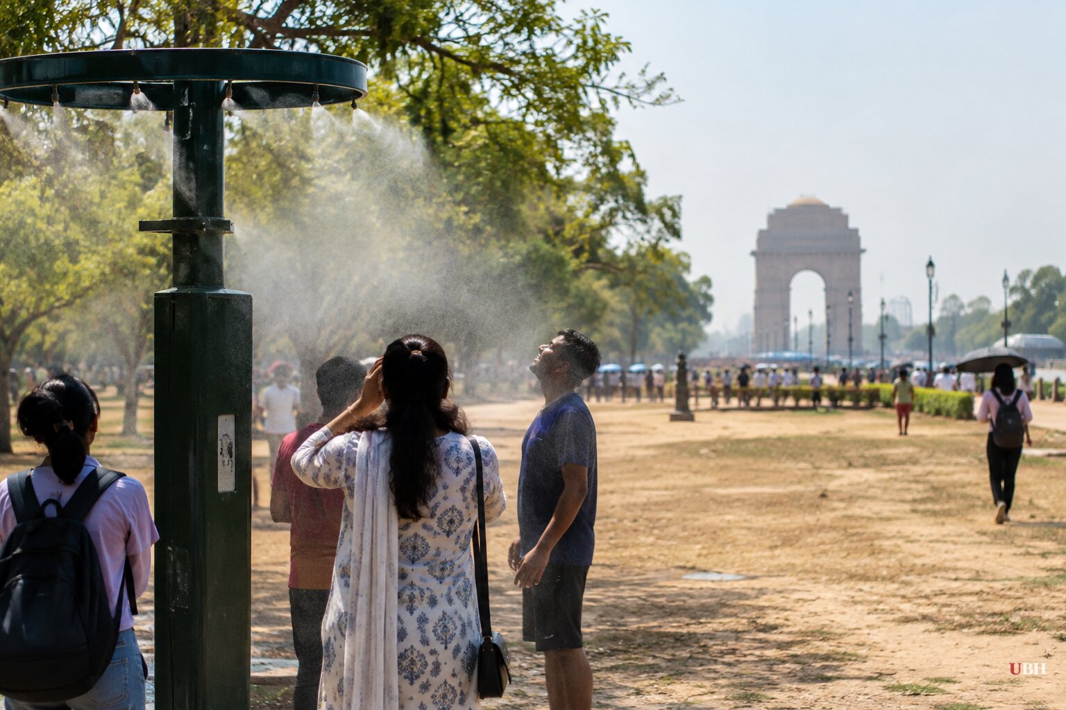
India's southwest monsoon season ran its course and ended Wednesday, September 30, closing the books on a rainfall total of roughly 759.4 mm against a long-period average of 868.6 mm, according to India Meteorological Department data reported by Rural Voice. That's a deficit of about 13%, which the IMD and Skymet Weather both classify as a 'mild drought.' Anything over 10% below the long-period average crosses that threshold.
This is India's first officially drought-classified monsoon since 2015, according to Skymet Weather. It's also the fourth-lowest seasonal total since 2001 and the 13th-lowest since 1901, per the Times of India. Business Standard, citing Reuters, put the shortfall slightly lower at 12.6%, which is the same underlying IMD data rounded differently, not a conflicting figure.
A Season That Got Worse Before It Got Better
The season started poorly and stayed poor for most of its run. Skymet Weather reports June alone came in 35% below normal, thanks to a skewed monsoon onset and a lack of weather systems. July rescued the numbers somewhat, running about 1% above normal nationally according to Business Standard. Then August delivered what Skymet called a prolonged 'break in monsoon' that undid the July gains.
By the first nine days of September, India Today reported the deficit had widened again, with rainfall 26% below normal for that stretch and the overall seasonal shortfall sitting at 15%. Dolat Capital, in a report carried by Chini Mandi, tracked the same 15% figure holding flat into mid-September before regional deficits began narrowing.
The gap from 15% down to the final 13% closed when an unusual tropical storm brought a 'damaging deluge' to states along the Indo-Gangetic plains late in the month, according to Skymet Weather. The storm dragged the national average down even as it flooded parts of Bihar, which The Print noted was already sitting on a 35% seasonal deficit despite the flash flooding.
El Niño Is the Named Culprit, and It's Not Done
Every source points to the same mechanism: El Niño. Skymet Weather's data shows the Niño 3.4 region temperature anomaly hit +3°C on September 16, the highest reading since reliable records began in 1950. The event moved from 'strong' in August to 'very strong' in September, per Skymet.
IMD Director General M. Mohapatra told The Print that the Indian Ocean Dipole, which can offset El Niño's drying effect, stayed neutral for most of the season and only turned positive too late to matter. Dolat Capital's research, cited by Chini Mandi, projects El Niño will persist into 2027, meaning this isn't a one-season problem being ruled out for next year.
Where It Hit Hardest, and Where It Didn't
The deficit was not evenly distributed. Rural Voice, citing IMD, reports East and Northeast India took the worst of it at 26% below normal, followed by South Peninsular India at 24%. Northwest India got off relatively easy at 6% below normal, and Central India barely registered a deficit at 3%.
At the state level, The Print's mid-September snapshot showed Meghalaya down 59%, the worst in the country, with Andhra Pradesh at 43%, Punjab at 40%, and Kerala at 27%. Of India's 36 meteorological subdivisions, 18 came in normal, covering 53% of the country's land area, while 17 subdivisions covering 42% of the area were deficient, according to Rural Voice.
Reservoirs, Crops, and the Government's Response
The consequence shows up in the water system. The Print reports 161 reservoirs nationwide are running about 32 billion cubic meters short of where they stood a year ago, and 52 billion cubic meters below total capacity.
On the farm side, Chini Mandi's report on Dolat Capital's numbers shows kharif sowing reaching 1,103.9 lakh hectares as of September 18, with the year-over-year shortfall narrowing to 15.1 lakh hectares from 16 lakh the week before. Rice sowing kept lagging, down 16.6 lakh hectares from last year, while oilseed acreage actually moved into a small surplus versus last year for the first time this season. Rural Voice reports the government has already lowered its 2026-27 foodgrain production target in response.
The drought is real but not uniform collapse. Central and Western India reservoir storage remains above the 10-year average, and sowing gaps are narrowing in several crops even as rice lags and the South Peninsula continues to trail on both fronts. Regional variation ranges from a 3% shortfall in Central India to a 59% shortfall in Meghalaya.
What Comes Next
The IMD is forecasting the northeast winter monsoon, expected to hit south Peninsular India between October 15 and 21, to bring 'normal' rainfall to Tamil Nadu, Kerala, coastal Andhra Pradesh and south interior Karnataka, according to the Times of India. That's the region that took the summer season's second-worst hit. Most of the rest of the country, though, is forecast for below-normal winter rainfall, meaning the reservoir and crop shortfalls building through 2026 won't fully correct before the next planting cycle. With El Niño projected by Dolat Capital to run into 2027, the open question is whether India gets a full recovery monsoon next year or a second consecutive shortfall, something the country hasn't faced since the back-to-back droughts of 2014 and 2015.
Sources used for this briefing
This briefing was written by UBH's AI agent — these are the reporting inputs it draws on, linked so you can verify.


