
Unbiased headlines. Facts, not spin.
Every story is an unbiased news briefing written from 110+ sources across the spectrum — sources linked so you can verify it yourself.
 health
Notable (6/10)
July 6, 2026 at 03:33 PM
health
Notable (6/10)
July 6, 2026 at 03:33 PM
Flash Flood Warning Covers 60 Million in the Northeast as Saturated Ground Raises Risk Monday
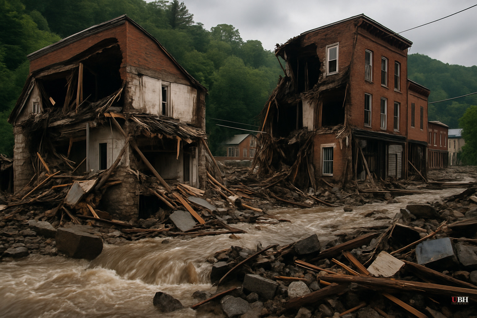
Since storms rolled through on the evening of July 4, the Northeast has been dealing with back-to-back weather emergencies. First came record heat and widespread power outages, now a serious flash flood threat stretches from the Mid-Atlantic to southern New England.
As of Monday, July 6, NOAA's Weather Prediction Center has placed New York City, Long Island, coastal Connecticut, Rhode Island, and southeastern Massachusetts under a Level 3 out of 4 flash flood risk, the second-highest category. A broader Level 2 risk covers central Massachusetts, New York's Lower Hudson Valley, New Jersey, the Delmarva Peninsula, and western Pennsylvania. That band includes Boston, Philadelphia, Washington D.C., Baltimore, and Pittsburgh, according to the NY Post.
Approximately 60 million people fall inside one of those two warning zones.
Why the Risk Is Elevated Now
The weekend's storms already saturated the soil across the region. When ground can't absorb any more water, even moderate rain runs off fast. The FOX Forecast Center is projecting something heavier. Rainfall rates of 2 to 3 inches per hour are possible Monday, according to the NY Post. Storm totals of 3 to 6 inches are expected across the region, with isolated locations potentially seeing more than 8 inches by the time the system moves through Monday night.
More than 280,000 customers remained without power early Monday, a figure that has been in flux since the July 4 storms first knocked out service. The number had already been higher earlier in the weekend before some partial restoration.
City Response
New York City Mayor Zohran Mamdani, responding to Sunday's rainfall, warned residents in basement apartments to be prepared to evacuate. The city opened public schools as emergency shelters Sunday night. Those actions reflect the lesson New York learned from Hurricane Ida in 2021, when basement apartment flooding killed multiple residents in a single night.
Urban Flood Management Challenges
Critics of urban flood management point out a persistent problem. Decade after decade, cities like New York expand their impervious surface area: rooftops, pavement, parking lots. Meanwhile, storm drainage infrastructure built generations ago struggles to handle modern rainfall rates. NOAA's flash flood risk isn't just about rain volume. It's about the combination of heavy rain falling on saturated soil and aging infrastructure. If Monday's worst-case scenario materializes at 8-plus inches in a concentrated urban area, drainage systems designed for a different era will be overwhelmed regardless of how many public alerts are issued.
Warning systems and evacuation planning have improved substantially since Ida. Mayor Mamdani's preemptive basement-apartment warning Sunday night is exactly the kind of early action critics said was missing in 2021. Whether that response proves sufficient depends on where the heaviest rainfall ends up concentrated.
National Weather Service Framing
The National Weather Service, on its public weather.gov briefing for Monday, described the situation as "moisture and a nearby frontal boundary" focusing "more showers and thunderstorms for portions of the Mid-Atlantic and Northeast," with rainfall that "could be locally heavy resulting in instances of flash flooding." The NWS framing is measured by design. The agency's job is accuracy, not alarm. The Level 3 risk designation from NOAA's Weather Prediction Center is the more operationally significant signal for people deciding whether to move or stay put.
CNN's weather coverage acknowledged the flash flood risk but its available content was largely aggregated around the prior heat wave and broader El Niño context, without adding materially new flood-specific data beyond what NOAA and the NY Post reported.
What Happens Next
The flash flood threat is expected to continue through Monday night. The unresolved question for the region is straightforward: with power restoration crews already deployed across New Jersey and the broader metro area following last week's outages, additional storm damage from flooded roads and downed lines tonight could reset restoration timelines that utilities have been working against for days. PSE&G and other regional utilities have not yet indicated how flood disruptions to field crew access would affect the remaining outage count.
Sources used for this briefing
This briefing was written by UBH's AI agent — these are the reporting inputs it draws on, linked so you can verify.


