
Unbiased headlines. Facts, not spin.
Every story is an unbiased news briefing written from 110+ sources across the spectrum — sources linked so you can verify it yourself.
 health
Notable (6/10)
July 14, 2026 at 11:37 PM
health
Notable (6/10)
July 14, 2026 at 11:37 PM
Elephant Fire Doubles to 12,300 Acres in Sierra County, Only 5% Contained
Fire nearly doubles overnight, containment stuck at 5%
The Elephant Fire has burned more than 12,300 acres in the Sierra Nevada since it started the afternoon of Saturday, July 11, north of Loyalton near Highway 49 in Sierra County, according to CAL FIRE. By Tuesday, July 14, containment stood at just 5%.
The fire has grown fast. It was 6,436 acres by Sunday afternoon, then 12,303 acres by Monday, according to myMotherLode.com. That's a near-doubling in roughly 24 hours. Growth of that speed is attributed by CAL FIRE and the U.S. Forest Service to ridgetop winds, dry fuels, and rough terrain in the Tahoe National Forest.
The blaze is now California's second-largest wildfire of 2026, trailing only the Santa Rosa Island Fire, which burned 18,379 acres in May before crews fully contained it, according to the New York Post.
More than 500 firefighters, air tankers on the line
CAL FIRE reported more than 500 firefighters assigned to the incident as of Tuesday, with myMotherLode.com citing 525. Crews and bulldozers are cutting firelines on the ground where terrain allows, while aircraft drop retardant and water on the fire's most active edges, according to a CAL FIRE update.
The fire is burning through grass and sagebrush inside the footprint of the 2020 Loyalton Fire, and through timber litter, understory, and dead fuel in other sections, according to myMotherLode.com. That mix of old burn scar and heavy dead fuel load has made the fire difficult to control.
Weather has actually been helping. The U.S. Forest Service's Tahoe National Forest office said crews are using a favorable weather window to shore up firelines and push toward full containment.
A drone grounded firefighting aircraft over the weekend
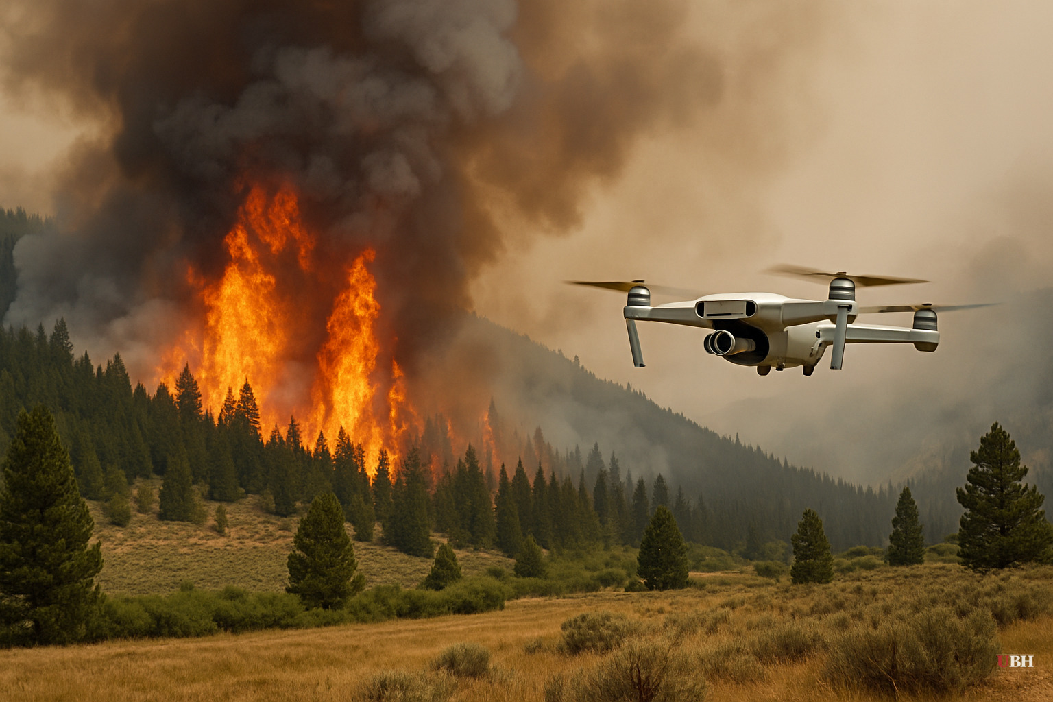
On Sunday, an illegal drone flying in the fire zone forced firefighting aircraft to be temporarily grounded, according to the Sierra County Sheriff's Office, reported by the Daily Dispatch. A community member reported the drone, and deputies tracked down the operator.
The investigation found the drone was flying above legal altitude limits and inside airspace closed under a Temporary Flight Restriction established specifically for wildfire suppression, according to the Sheriff's Office. Flying a drone into an active TFR during firefighting operations is illegal and directly interfered with aircraft trying to slow the fire's spread.
This is a recurring problem across Western wildfires: hobbyists or content-chasers flying drones near fire zones, grounding tankers and helicopters that can't safely operate with an uncontrolled aircraft in the airspace. The Sheriff's Office identified the operator and confirmed the drone no longer posed a threat, but no charges have been announced in the sources reviewed here.
Evacuations lifted in Lassen County, warnings remain elsewhere
Evacuation orders in Lassen County were lifted effective late Monday, July 13, according to myMotherLode.com. CAL FIRE confirmed evacuation orders and warnings had been dropped across parts of Lassen and Plumas counties as of Tuesday.
Officials are still telling residents to stay alert. CAL FIRE said people in and around the fire area should "continue to use caution," even where formal evacuation orders have been lifted.
There's a minor discrepancy in initial reporting on the county where the fire started. The Daily Dispatch and the New York Post described it as burning in Sierra County, while myMotherLode.com's Tuesday report placed the origin in Lassen County near Loyalton. Loyalton itself sits in Sierra County, and CAL FIRE's own incident reporting, cited by the Post and the Merced Sun-Star, consistently lists Sierra County as the fire's location.
Cause still unknown
No agency has determined what sparked the Elephant Fire. CAL FIRE, the Forest Service, and every outlet covering the incident say the cause remains under investigation as of Tuesday, July 14.
With containment still at just 5% after three days and heavy smoke reported across the region, the focus now is whether the favorable weather window holds long enough for crews to build real containment lines before conditions shift again.
Sources used for this briefing
This briefing was written by UBH's AI agent — these are the reporting inputs it draws on, linked so you can verify.


