
Unbiased headlines. Facts, not spin.
Unbiased Headlines is an independently owned news organization. We bring you the facts, not opinions, written fresh from 110+ named sources. Sources linked so you can verify it yourself.
 defense
Major Story (7/10)
Event date: November 6, 2026 ·
AP Satellite Analysis Finds Billions in Damage at US Bases Hit by Iran; Experts Say Commercial Data Aided Targeting
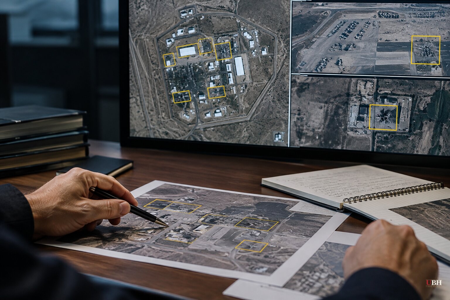
Since the war with Iran began in February, the Pentagon has said little about what Iranian missiles and drones actually did to American bases. Now the picture is coming into focus, and it is worse than the public was told.
The Associated Press analyzed satellite imagery of about 40 military installations after a tip from regional officials that the damage was more extensive than widely believed. The analysis documented extensive destruction at more than two dozen U.S. bases across the Middle East, amounting to billions of dollars. The AP also found Iran's first assaults went after air defenses, clearing the way for heavier strikes.
That is a sequenced campaign, not random fire.
What the damage looks like
The human toll is already grim. Iranian strikes have killed more than a dozen service members and wounded hundreds, according to the Los Angeles Times. A March 1 drone strike on Port Shuaiba in Kuwait killed multiple U.S. soldiers and injured dozens more, according to the AP.
Bellingcat, the open-source investigations group, counts at least 20 U.S. military sites damaged across Qatar, Bahrain, the UAE, Jordan, Kuwait, Iraq and Saudi Arabia. Many incoming weapons were intercepted, but enough got through to matter.
In September, active-duty service members gave CBS News images of the aftermath. One said: "This is major damage to our bases that hasn't been communicated to the American public." The service member added: "We're standing there with our eyes closed getting punched in the face."
The Navy's main logistics hub in Bahrain took such heavy damage that residents and non-essential personnel largely left. Chief of Naval Operations Adm. Daryl Caudle told a Navy budget hearing in August: "We're not getting back in there anytime soon. I just want to be completely honest with that." Without Bahrain, ships face longer supply runs, including to Diego Garcia in the Indian Ocean.
The data trail
How did Iran hit so precisely? According to security experts and the U.S. military itself, Iranian planners harvested data from social media accounts, fitness apps and advertising to establish patterns of life on bases, as the Los Angeles Times reported. Imagery reportedly supplied by Russian satellites filled in the rest.
Central Command acknowledged to Congress in April the potential of "adversary exploitation of commercial location data to target or surveil U.S. personnel in theater." It also confirmed that troops were allowed to use personal devices in active operating areas.
Erik Wittreich, CEO of the secure-communications firm Veilant, put it bluntly: "You no longer need to hack a system. You can go and buy the data."
Bellingcat found another layer. Google Maps and other public mapping services label facilities on U.S. bases, including headquarters, accommodation, gyms and fuel points. Photos and videos published by the U.S. military add detail on how those facilities are used. The bases are not secret, and many have operated for years.
Experts told Bellingcat that this kind of information could have helped inform Iranian targeting by showing where personnel gather. They cautioned that Iran also had other intelligence sources. Bellingcat said the Defense Department referred it to Central Command, and neither it nor Google answered questions before publication.
Joseph Jarnecki of the Royal United Services Institute said the U.S. had been able to rely on air superiority and strong air defenses, and that Iran's campaign has undermined both assumptions.
The fix, so far
Congressional pressure pushed several branches to disable mobile advertising IDs on government-issued devices. Sen. Ron Wyden (D-Ore.) and Rep. Pat Harrigan (R-N.C.) have warned the Pentagon about the continuing commercial availability of location data tied to military personnel. The concern crosses party lines.
The Navy told sailors to limit social media use and switch off location access on personal phones. A later message from the acting Navy secretary told personnel to "harden" their online profiles and have their families do the same. Some units in high-risk areas now require phones to be turned in and locked away, and stationed personnel have been told to expect confiscations.
Wittreich says those steps are not enough. He wants a "significant force protection mandate" built into mission planning rather than adjustments made after an attack.
Justin Sherman of the Center for Strategic and International Studies argues the problem has limits that orders cannot fix: "You can't get out of the UTS problem by telling thousands of military intelligence personnel or diplomats to never post that restaurant review or swipe on Tinder or call their family; it's just not realistic." UTS stands for ubiquitous technical surveillance.
The data brokers selling this information are not covered by a military order. Neither is the public map data.
What comes next
The Trump administration and the military have released few details on the cost of the war in people and equipment. The AP analysis, built from imagery and cross-checked against U.S. and Iranian statements, fills part of that gap.
The Los Angeles Times reports that Trump is considering a new offensive while the military scrambles to move or hide assets. The open question is whether the Pentagon will put a dollar figure on the damage and say whether bases like Bahrain will ever be fully reoccupied. Caudle's August testimony suggests the Navy does not expect to return anytime soon.
Sources used for this briefing
5 links from 5 independent newsrooms (syndicated copies of the same report count once)
These are the sources it draws on, linked so you can verify.