
Unbiased headlines. Facts, not spin.
Every story is an unbiased news briefing written from 110+ sources across the spectrum — sources linked so you can verify it yourself.
 health
Notable (5/10)
July 17, 2026 at 05:34 PM
health
Notable (5/10)
July 17, 2026 at 05:34 PM
90 Million Americans Face Severe Storm Risk This Weekend, Tornadoes Possible From Ohio Valley to Mid-Atlantic
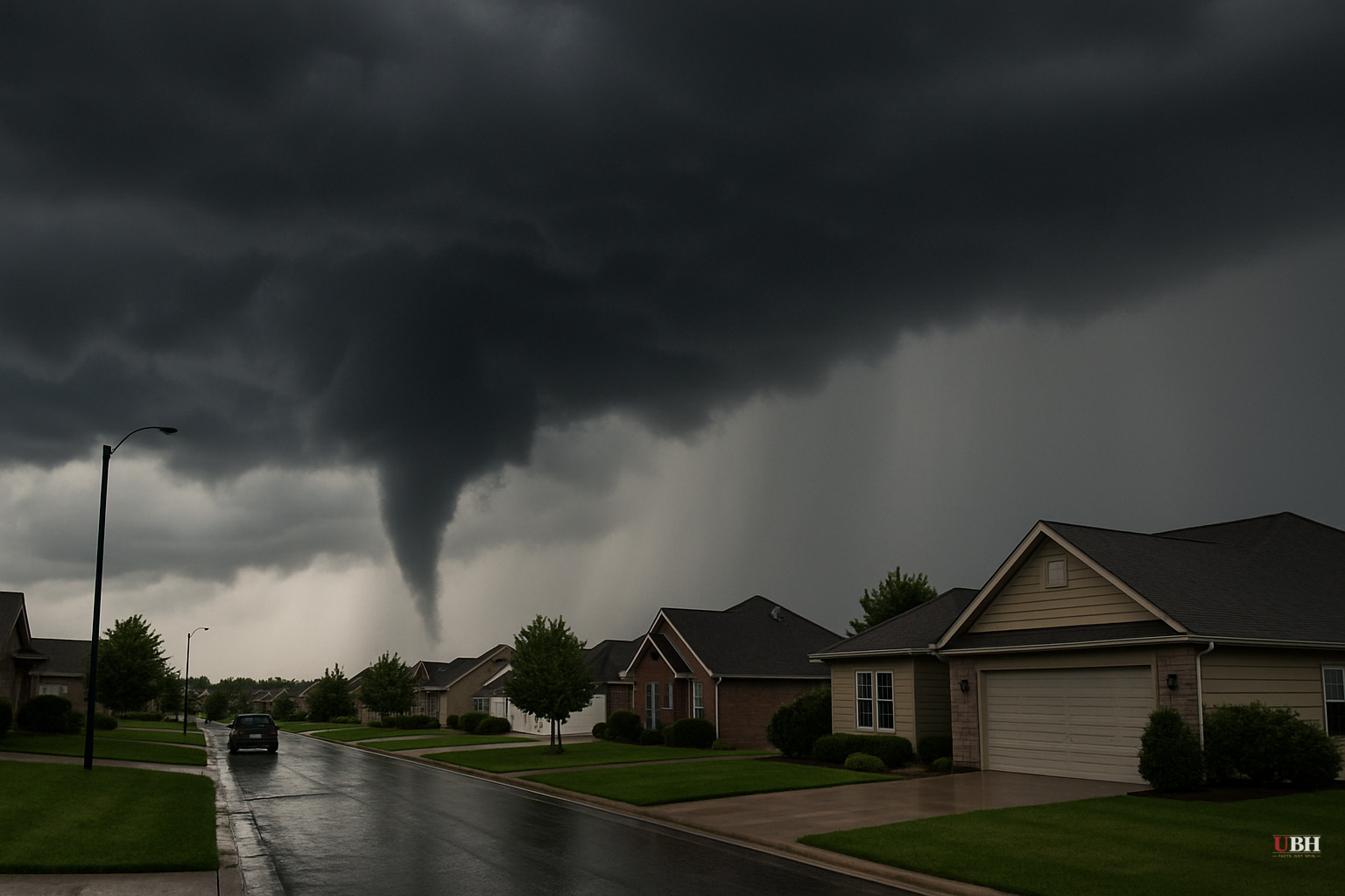
A cold front is set to end more than a week of hazy, muggy heat on the East Coast this weekend, but it's bringing its own set of problems: hail, damaging wind and a real chance of tornadoes across a stretch of the country home to more than 90 million people.
According to the FOX Forecast Center, as cited by the New York Post, the heat dome that has parked over the East Coast will keep temperatures high and humidity worse through Friday, July 17. Wildfire smoke drifting down from Canada has been acting like a filter, scattering sunlight before it hits the ground, which has kept a lid on just how hot afternoons actually get despite the muggy air.
That pattern breaks this weekend. A slow-moving cold front will push through the Ohio Valley starting Friday and continue sweeping across the Mid-Atlantic through Sunday, July 19, triggering widespread showers and heavy thunderstorms along the way.
Saturday Is the Day to Watch
Forecasters are flagging Saturday, July 18, as the highest-risk day. The Storm Prediction Center's severity scale, cited in the report, puts most of the Northeast and the southeastern Great Lakes region at a Level 2 out of 5 severe storm threat.
The FOX Forecast Center says an intense line of storms is expected to develop across the western Northeast late Saturday evening and track eastward overnight. Large, damaging hail is expected to be the first threat as storms fire up. Once those storms consolidate into a line, damaging wind gusts become the bigger concern, with a few tornadoes possible as well.
The front doesn't stop moving after Saturday. As it pushes farther south, severe storms become likely across western Virginia and North Carolina on Sunday, where forecasters have also placed a Level 2 out of 5 severe threat.
Flooding Risk Layered on Top
Separate from the wind, hail and tornado threat, a flash flood risk is tracking right along with the front. Friday's flood threat is centered on the Ohio Valley. By Saturday, that shifts to the Northeast, with a Level 2 flash flood threat specifically named for New York City, and parts of Pennsylvania and New Jersey. On Sunday, a Level 1 flash flood threat sets up over parts of Virginia and North Carolina.
For New York City residents, that's an unwelcome but familiar pattern. The city has seen a string of rain-soaked weekends already this summer, and this one adds a flood risk on top of the broader severe weather threat rolling through the region.
What's Actually at Stake
A Level 2 out of 5 threat sits near the low end of the Storm Prediction Center's five-tier system, which ranges from Marginal (1) to High (5). Even at this level, such events routinely produce damaging wind gusts strong enough to down trees and power lines, hail large enough to dent cars, and isolated tornadoes. The forecast language here, hail first, then a wind-driven squall line, with tornadoes possible, is the classic setup for a fast-moving, damaging thunderstorm complex rather than a slow, prolonged tornado outbreak.
The practical takeaway for the tens of millions of people in the path, from the Ohio Valley through New York City, Pennsylvania, New Jersey and down into Virginia and North Carolina, is that Saturday evening into Sunday carries the highest risk of power outages, localized flash flooding and isolated tornado warnings. Anyone with outdoor weekend plans in that corridor should keep an eye on real-time alerts from the National Weather Service as the front approaches, since the exact timing and location of the most severe storms will sharpen closer to Saturday evening.
Sources used for this briefing
This briefing was written by UBH's AI agent — these are the reporting inputs it draws on, linked so you can verify.


