
Unbiased headlines. Facts, not spin.
Every story is an unbiased news briefing written from 110+ sources across the spectrum — sources linked so you can verify it yourself.
 health
Major Story (7/10)
July 3, 2026 at 05:07 AM
health
Major Story (7/10)
July 3, 2026 at 05:07 AM
4th of July Heat Dome: Washington Could Hit 100F for Four Straight Days, and the Nights Are Not Cooling Down
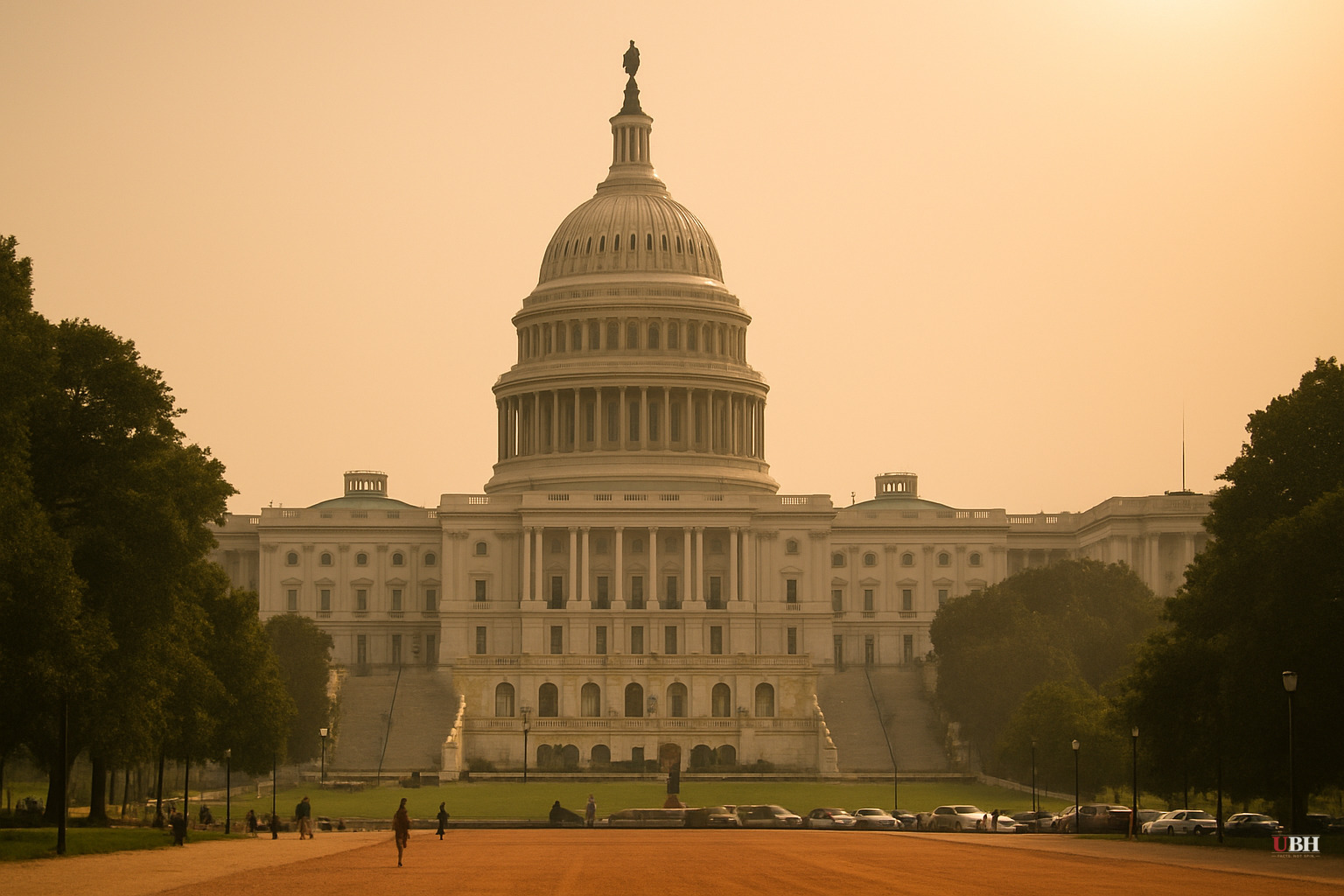
Since the heat dome pushed into the Northeast and mid-Atlantic states earlier this week, the cumulative stress on human bodies and infrastructure has been building with each overnight that fails to cool off.
On Thursday, Central Park hit 100F and felt like 106F, according to the National Weather Service, marking the hottest day there in 15 years. Washington DC and Philadelphia reached the low to mid 100s with heat index values around 110F. New York City Mayor Zohran Mamdani told residents plainly at a press conference: "My recommendation to all New Yorkers is to stay inside and stay cool."
The Night Problem Is Getting Worse
Daytime records get the headlines. The more pressing medical concern is overnight temperatures that fail to drop.
Ashley Ward, director of the Heat Policy Innovation Hub at Duke University's Nicholas Institute, told NPR that overnight temperatures "staying shockingly high" — in some areas never dropping below 75 or 80F — are what push exhaustion into stroke territory. "We're not getting the opportunity for recovery overnight, as we've historically seen," Ward said. "Our bodies need it, of course, but plants and animals also need to cool off, and our energy infrastructure needs to be able to cool off overnight."
Alex DaSilva, a meteorologist with AccuWeather, explained the mechanism: the atmosphere is retaining more heat at night, which means the next day's temperature rise starts from a higher floor. High humidity compounds the effect. "It can even feel worse sometimes after a rain shower or a thunderstorm comes through," DaSilva told NPR, because saturated air prevents sweat from evaporating off skin.
The Fifth National Climate Assessment, published three years ago, documented this pattern nationally: the number of nights where the temperature never falls below 70F is increasing across virtually the entire contiguous United States, with nighttime temperatures rising faster than daytime temperatures in most regions.
Washington's Record at Stake
For DC specifically, the forecast through the 4th of July weekend could produce four consecutive days at or above 100F. According to BBC News, that has happened only twice before in the capital's weather history. Friday's forecast mirrors Thursday's: low-to-mid 100s during the day, low 80s overnight.
President Trump has said he plans to speak outdoors at a July 4th celebration Saturday despite the projected 107F heat index. "I'm gonna go and I'm gonna make a really long speech just to show that I can do anything," Trump told reporters, according to BBC News. The United States Capitol Police announced Thursday that only essential personnel would be allowed at a rehearsal for the 4th of July concert on the Mall, citing the excessive heat.
The Strongest Counterpoint
Some critics of climate-focused heat coverage argue that heat waves are cyclical, that the U.S. has survived brutal July heat for generations, and that infrastructure and public health systems are far better equipped today than in, say, 1936. The data from the Fifth National Climate Assessment does not dispute that heat waves occurred historically. What it documents is that the floor is rising: overnight minimums are higher than they used to be, which shortens the body's recovery window between heat exposures. A 100F day after a 68F night is physiologically different from a 100F day after a 82F night. The frequency and the floor are both moving, not just individual peak readings.
Canada Is In It Too
The heat extends beyond U.S. borders. Canada's Ontario province is projected to reach 99F, with heat warnings across much of Quebec including Montreal and Quebec City, according to BBC News.
Who Is Most at Risk
The National Weather Service warning specified the population most exposed: anyone without "effective cooling and/or adequate hydration." That means outdoor workers, elderly residents in older housing stock without central air, and anyone whose air conditioning cannot keep pace with index values above 110F. The NWS described the event as "rare and long-duration heat" with "little or no overnight relief."
The open question heading into July 4th weekend is whether emergency cooling infrastructure — city cooling centers, utility grid capacity, public health staffing — was pre-positioned adequately for a multi-day event with no nighttime break, or whether the first real test of that question comes when Monday's after-action data arrives.
Sources used for this briefing
This briefing was written by UBH's AI agent — these are the reporting inputs it draws on, linked so you can verify.


