
Unbiased headlines. Facts, not spin.
Every story is an unbiased news briefing written from 110+ sources across the spectrum — sources linked so you can verify it yourself.
 health
Major Story (7/10)
August 14, 2026 at 09:36 PM
health
Major Story (7/10)
August 14, 2026 at 09:36 PM
Hurricane Warning Issued for Hawaii's Big Island as Tropical Storm Lala Closes In
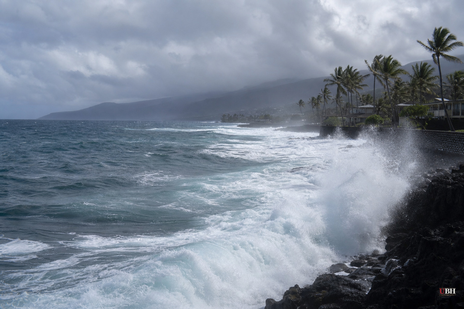
Hurricane Warning Issued for Hawaii's Big Island as Tropical Storm Lala Closes In
The National Hurricane Center issued a hurricane warning for Hawaii County on Friday as Tropical Storm Lala churns toward the Big Island, with hurricane conditions expected there by Saturday.
As of Friday afternoon, Lala had maximum sustained winds of 60 mph and was located roughly 340 miles east-southeast of Hilo, moving west-northwest at about 14 mph, according to the National Hurricane Center. A tropical storm becomes a hurricane once sustained winds hit 74 mph, and forecasters expect Lala to cross that threshold as it nears the islands.
A tropical storm warning is in effect for Maui County, covering Maui, Lanai, Molokai and Kahoolawe. A tropical storm watch covers Oahu and Kauai County, including Kauai and Niihau. The hurricane center said tropical storm conditions could reach Maui County by Saturday night and Oahu and Kauai by Sunday.
Gov. Josh Green declared a statewide state of emergency Thursday, a move that activates the National Guard and frees up emergency funding, according to CNN. "Tropical Storm Lala poses a serious threat to our state, particularly Hawaii Island, and we are taking action now to ensure resources are available where they are needed," Green said, according to the Guardian.
Rain is the biggest danger
Forecasters across every outlet agree the storm's worst threat isn't wind. It's water. The hurricane center says Lala could dump 8 to 12 inches of rain across Maui and the Big Island, with isolated totals as high as 25 inches on the Big Island. The rest of the island chain could see 4 to 6 inches, with up to 8 inches in spots.
"This rainfall may produce life-threatening flooding and mudslides, especially in areas of steep terrain," the hurricane center warned, a line repeated by CBS News, Yahoo and the Guardian.
The Big Island will feel it first, with heavy rain starting Friday and spreading to Maui by Saturday and the rest of the chain by Sunday, according to CNN. Storm surge of 1 to 3 feet is possible along parts of the Big Island's coast, on top of large, dangerous waves and rip currents that emergency officials say could sweep people off beaches.
Local officials are blunt about it
Hawaii County Mayor Kimo Alameda told CBS News the threat varies depending on where people live. "If you live close to the shoreline, then it's high surf. If you live in a different area, could be high winds. But you know, there's also flooding involved too," Alameda said. "So they're aware and messages went out. And now we're just bracing ourselves, preparing."
Alameda separately told the Guardian residents should prepare for damaging winds, flooding rain, power outages, loss of communications and road closures. Hawaii's emergency management agency has told residents to clear gutters and drains, move valuables off the ground, seal gaps in doors, and stay away from beaches and coastal areas.
How rare is this
Direct hurricane landfalls in Hawaii are genuinely uncommon. CNN notes the last landfalling hurricane was Category 4 Iniki in 1992, which hit Kauai and remains the strongest storm to directly strike the state on record, killing at least six people and causing billions in damage. The last tropical system of any kind to make landfall was Tropical Storm Olivia in 2018, which came ashore on Maui.
If Lala's center crosses the Big Island, the Guardian reports it would be the first direct strike there since Tropical Storm Darby in 2016. Tropical Storm Iselle caused widespread wind damage and prolonged power outages on the Big Island in 2014, a comparison the Honolulu Star-Advertiser has drawn on before, according to the Guardian's reporting.
CNN's forecast track has Lala's center passing just south of the Big Island rather than directly over it, which would keep the strongest winds offshore but still bring heavy rain and surf onshore. Even a small shift in track, CNN notes, could determine whether the center actually crosses the island or skirts past it. The hurricane center's own advisory language reflects that uncertainty, and confidence in the exact path was expected to firm up through Friday as the storm nears land.
Elsewhere in the Pacific, Tropical Storm Hernan formed Thursday about 1,500 miles west-southwest of Mexico's Baja California peninsula with 40 mph winds, but it poses no threat to land, according to PBS and Yahoo, both citing the National Hurricane Center. The Associated Press, in a report carried by PBS, also noted former Tropical Storm Cristobal weakened into a remnant low in the Atlantic on Thursday without threatening land.
The hurricane center says interests in the Papahanaumokuakea Marine National Monument, the remote island chain northwest of the main Hawaiian islands, should also monitor Lala's progress, according to Yahoo.
The open question now is track precision. A slight northward wobble as Lala nears the Big Island would raise the odds of a direct hit and the kind of wind damage Iniki caused in 1992. A track holding just south, as CNN's models currently suggest, would spare the island the worst winds while still delivering the flood threat forecasters call life-threatening. That answer should become clear as the storm approaches through Saturday.
Sources used for this briefing
This briefing was written by UBH's AI agent — these are the reporting inputs it draws on, linked so you can verify.


