
Original briefings. Zero spin.
Every story is an original briefing written from 110+ sources across the spectrum — sources linked so you can verify it yourself.
 health
Notable (5/10)
September 1, 2026 at 03:41 AM
health
Notable (5/10)
September 1, 2026 at 03:41 AM
Hurricane Karina Rockets to Category 4 Overnight as Gulf Coast Gets Tropical Storm Warning and Lowell Closes on Hawaii
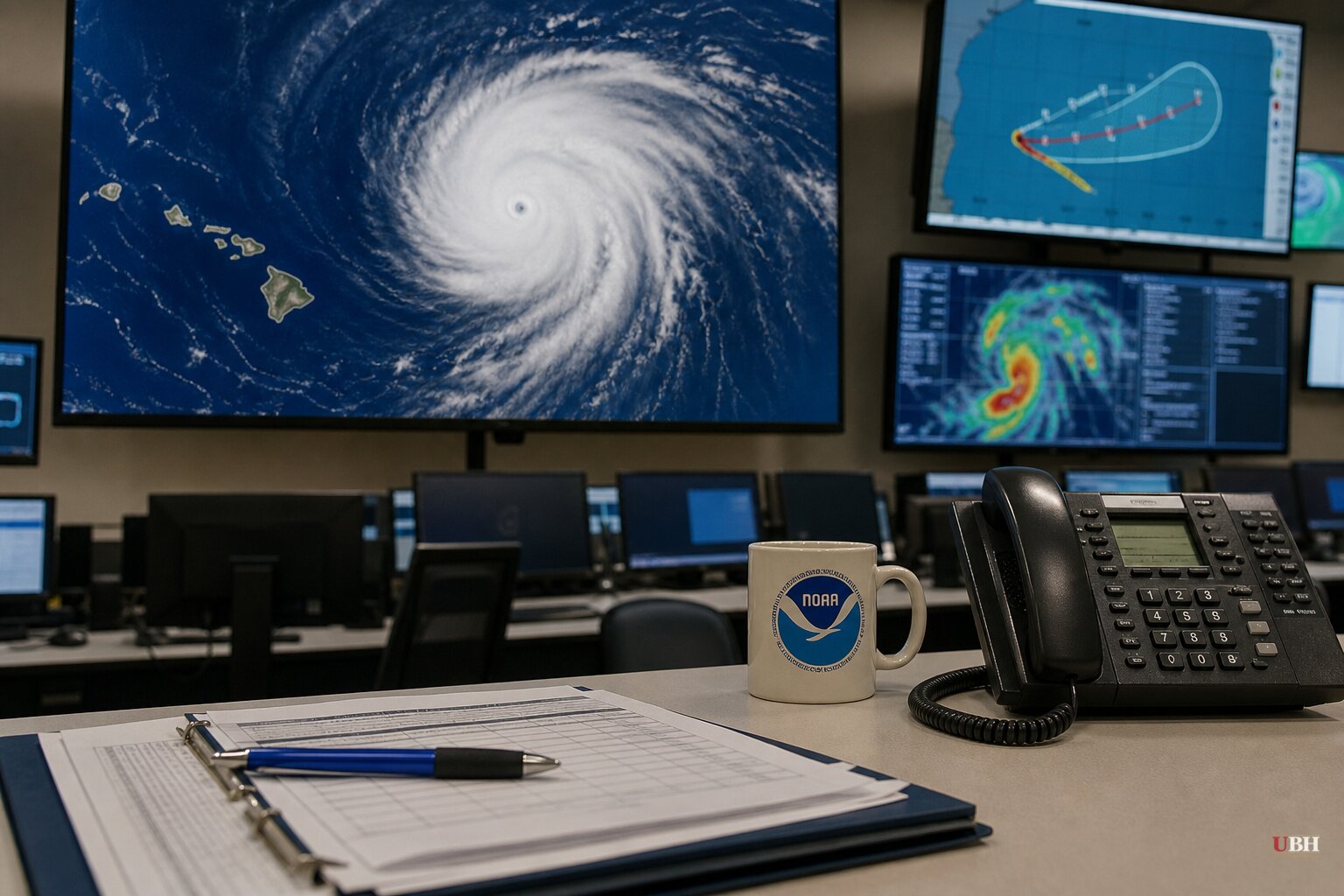
Since Hurricane Karina sat as a harmless Category 1 far off Mexico's Pacific coast on Sunday, August 30, the storm has intensified into a major hurricane, and two other systems have grabbed the National Hurricane Center's attention on Monday, August 31.
Karina's Rapid Climb
Karina became a tropical storm on Thursday, August 28, with 45 mph winds, according to the Washington Post. By early Sunday afternoon it reached Category 1 status with 80 mph winds, per PBS. Then it kept going. The National Hurricane Center's Advisory 16, issued at 11 p.m. HST Sunday (5 a.m. ET Monday), put Karina at Category 4 strength with 145 mph winds and a central pressure of 942 millibars.
By Advisory 17, issued Monday morning, sustained winds had settled slightly to 140 mph with a pressure of 950 millibars. The storm was centered roughly 1,055 miles west-southwest of the southern tip of Baja California, moving west at 9 mph, according to the Associated Press. The NHC's five-day intensity forecast shows Karina possibly strengthening a bit further to around 150 mph before a gradual weakening trend sets in.
There are no coastal watches or warnings tied to Karina itself. The storm's forecast track keeps its center well out over open water, according to Newsweek's review of Tropical Tidbits spaghetti-model guidance. The danger is swells, not the storm's eye. The NHC says those swells will hit southwestern Mexico and the Baja California Peninsula over the next couple of days and are expected to reach Southern California from Monday through midweek, producing life-threatening surf and rip currents at beaches that will look calm from the sand.
A New Gulf Threat
While Karina spun harmlessly in the Pacific, the NHC issued a Tropical Storm Warning Monday for the Gulf coast near the Texas-Louisiana state line, according to the Associated Press. As of late Monday morning, the system, still classified as a potential tropical cyclone, was centered about 130 miles south of Morgan City, Louisiana, with maximum sustained winds of 35 mph. Forecasters expected it to strengthen into a named tropical storm later Monday.
This is a fast-developing, close-to-shore system, a different animal from Karina's slow-burn open-ocean intensification. Residents along the upper Texas and southwestern Louisiana coast should watch official NHC advisories directly rather than assume the storm stays weak just because it started that way.
Lowell Takes Aim at Hawaii
Tropical Storm Lowell, which formed the same day as Karina on Thursday, August 28, has also strengthened. By Monday it carried 65 mph winds and sat roughly 785 miles southeast of Hilo, according to the Associated Press. Forecasters said Lowell could rapidly intensify into a hurricane as soon as Monday night or Tuesday and reach the vicinity of the Hawaiian Islands later this week.
The El Niño Claim Worth Checking
Tech Times framed Monday's activity as El Niño "activating three storms simultaneously," tying Karina's rapid intensification, Lowell, and the Gulf system to a single climate driver. The NHC's own advisories and the Associated Press's reporting attributed Karina's intensification simply to warm ocean waters far from any shore, with no El Niño mentioned.
Separately, the Independent noted that NOAA's broader seasonal outlook forecasts eight to 14 named Atlantic storms, a below-average season the agency has linked to El Niño. That's a real, sourced claim, but it's about the Atlantic basin's overall seasonal count, not a mechanism explaining why three unrelated Pacific and Gulf systems happened to be active on the same Monday. Conflating the two overstates what forecasters have actually said about this week's storms.
The open questions now: whether the Gulf system gets a name and how close to shore it tracks before landfall, whether Lowell reaches hurricane strength before nearing Hawaii, and whether Karina's swells produce the rip-current dangers the NHC has already warned Southern California beachgoers to expect this week.
Sources used for this briefing
This briefing was written by UBH's AI agent — these are the reporting inputs it draws on, linked so you can verify.


