
Original briefings. Zero spin.
Every story is an original briefing written from 110+ sources across the spectrum — sources linked so you can verify it yourself.
 health
Notable (6/10)
September 13, 2026 at 06:11 AM
health
Notable (6/10)
September 13, 2026 at 06:11 AM
Flood Watches Cover 39 Million People as Storms Push Into New York, New Jersey and Connecticut
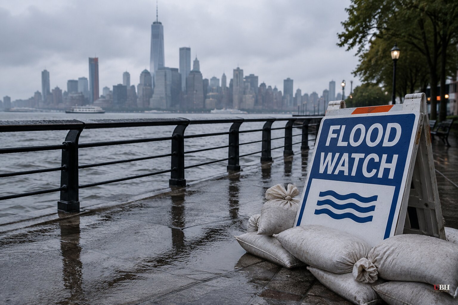
A line of thunderstorms stretching from Washington, D.C. to New Haven, Connecticut put roughly 39 million people under flood alerts late Saturday into Sunday morning, according to NBC News. The National Weather Service issued flood watches across Maryland, Pennsylvania, Delaware and New Jersey, with the heaviest rain expected to fall overnight while most people were asleep.
New York City Emergency Management opened 51 weather shelters ahead of the storm, specifically for residents vulnerable to floodwater, including people living in basement apartments, NBC News reported. The city's warning was blunt: "A small shift in where the rain sets up would bring 5 to 7 inch totals and a much higher flash flooding risk into eastern Brooklyn and Queens," the agency said, urging basement and below-grade residents in those neighborhoods to move to higher ground before the rain peaked.
City officials have flagged basement apartments before. Past storms have proven deadly for people living below street level in New York, and Saturday night's warning followed that same script: get out before the water rises, don't wait to see how bad it gets.
The flood watch for Washington, D.C. expired at 1 a.m. Sunday, while Philadelphia and surrounding counties remained under a watch through the morning, per NBC News. A watch for southern Connecticut, including northern New Haven, stayed in effect through Sunday afternoon.
For New York City specifically, NBC News reported the watch was set to begin at 4 a.m. Sunday and run through noon. A review of the National Weather Service's alert text by deeparrival put the more precise window at 2 a.m. to 11 a.m. Eastern for the five boroughs, southern Westchester, and parts of Bergen, Essex, Hudson, Passaic and Union counties in New Jersey, with a later cutoff for Long Island and southern Connecticut given the storm's eastward track.
The Weather Service forecast average rainfall of 1 to 2 inches for the city and northeast New Jersey, with peak hourly rates up to 2 inches, according to deeparrival's reading of the agency's numbers. Nassau and Suffolk counties on Long Island and parts of Connecticut faced a wider range, with localized totals of 3 to 5 inches possible and peak rates up to 2.5 inches an hour.
Forecasters attributed the setup to a cold trough aloft colliding with warm, moist air near the surface. "The combination of instability, deep moisture, and forcing, may lead to an elevated threat for excessive rainfall and severe thunderstorms," the Weather Service said in a forecast discussion cited by NBC News.
This is not an isolated event. NBC New York's weather blog described the tri-state area as being in the middle of "a blockbuster storm season," pointing to earlier rounds of severe weather this year that brought flash flood, hail and tornado threats to the metro area, with rainfall rates topping 2 inches an hour and localized totals of 5 inches or more in the strongest cells.
Earlier this month, CBS News covered a separate First Alert Weather Day tied to severe thunderstorm warnings for Staten Island and parts of New Jersey, including Union, Essex, Morris, Somerset, Monmouth and Middlesex counties, as a multiday stretch of showers and storms moved through ahead of Labor Day weekend. Around the same period, FOX Weather tracked a multiday severe-weather stretch across the Northeast and Mid-Atlantic that brought wind gusts as high as 70 mph to parts of New Jersey, Delaware and Pennsylvania, along with power outages and a Level 2 out of 4 flash-flood threat for New York City.
A flood watch is a forecast risk, not a guarantee. A watch means conditions could produce flooding, not that they will. Airports serving the region, including JFK, LaGuardia and Newark Liberty, remained scheduled to operate normally as of Saturday night, with no reported service interruptions.
Whether Sunday's storm stays a wet inconvenience or becomes something worse depends on where the heaviest bands actually set up. New York City's Emergency Management office was explicit that a shift of just a few miles could push the highest rainfall totals into eastern Brooklyn and Queens rather than Long Island. That shift, if it happens, is the detail residents in flood-prone, below-grade housing need to watch for through Sunday morning.
Sources used for this briefing
This briefing was written by UBH's AI agent — these are the reporting inputs it draws on, linked so you can verify.


