
Original briefings. Zero spin.
Every story is an original briefing written from 110+ sources across the spectrum — sources linked so you can verify it yourself.
 health
Low Interest (4/10)
Event date: August 28, 2026
health
Low Interest (4/10)
Event date: August 28, 2026
Dolly's Remnants Track Toward Florida, but NHC Puts Redevelopment Odds at Just 20 Percent
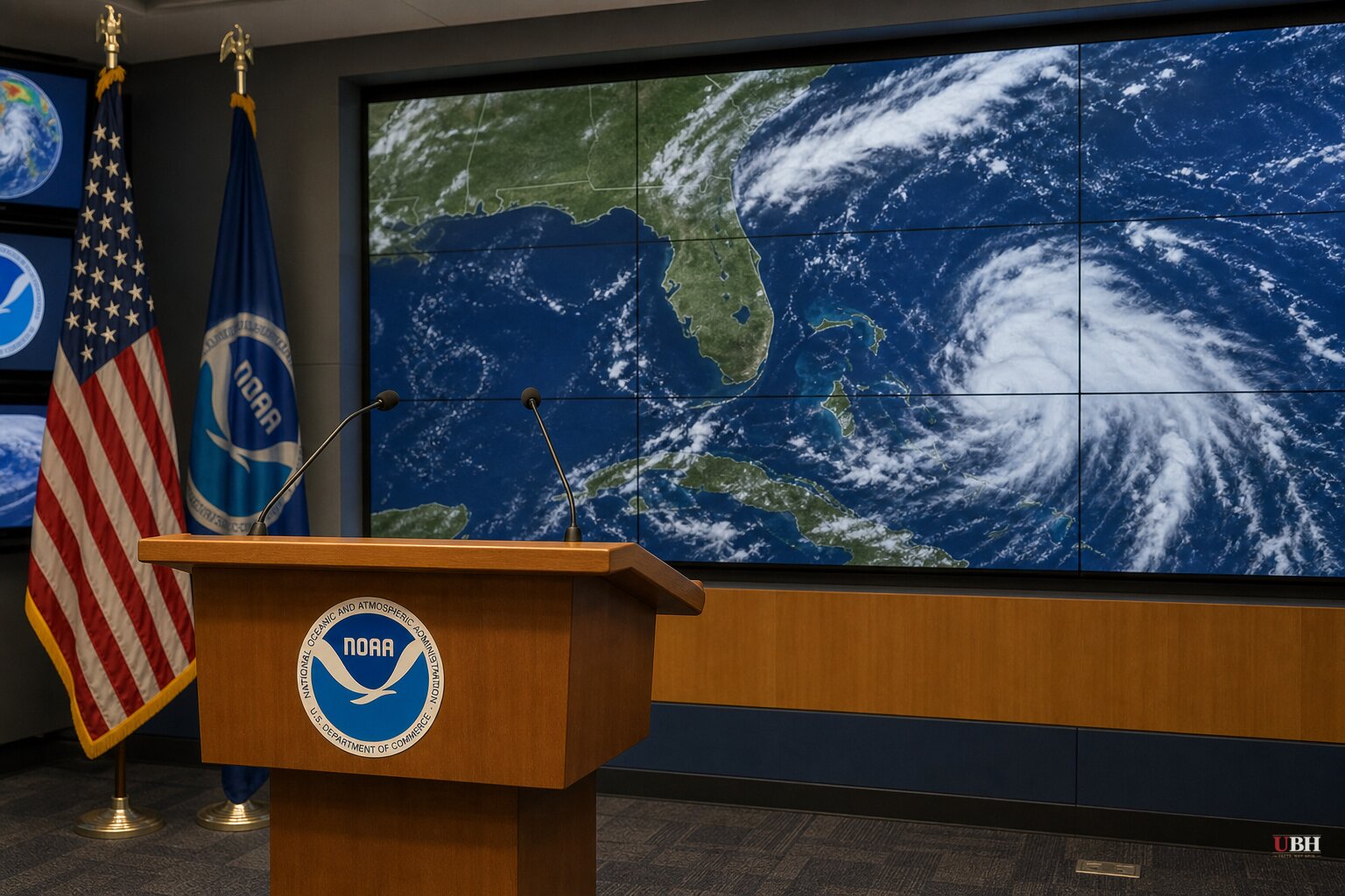
Since Tropical Storm Dolly formed on August 27 and got downgraded to an open tropical wave by the next morning, its remnants have kept pushing west across the Caribbean at about 25 miles per hour. As of Sunday, August 30, the National Hurricane Center says redevelopment is unlikely in the next 48 hours but has bumped the seven-day chance up to 20 percent, according to the NHC's latest Tropical Weather Outlook.
That 20 percent number is why spaghetti models are suddenly making the rounds again. Newsweek ran forecast tracks Sunday showing a cluster of lines pointing toward the Florida Peninsula and eastern Gulf, prompting digital meteorologist Ryan Hall to post on X that "Tropical Storm Dolly fell apart on Friday. Now it might try to come back."
Fort Myers-based meteorologist Matt Devitt pushed back on the panic angle in his own Sunday post. "I know the lines can initially appear ominous, but we need to put things into perspective first," Devitt wrote. "These are tracks for the leftovers of Dolly, which includes extra tropical moisture and additional rain chances for the area it heads toward."
What's actually happening on the ground
Right now Dolly's remnants are dumping showers and thunderstorms on the northern Leeward Islands, the Virgin Islands and Puerto Rico, with locally heavy rain expected to continue over the next several days, per the NHC. USA TODAY Network reporting carried by naplesnews.com and Yahoo News says the same rain moves into Hispaniola by Monday.
AccuWeather lead hurricane expert Alex DaSilva laid out the actual mechanism for any Florida threat: "If Dolly can survive the dry air, wind shear and land interaction near the islands, the environment does become more conducive for development and strengthening off the southeast U.S. coast mid to late next week." Dolly got torn apart by dry air and southwesterly shear once already, less than 24 hours after being named.
Florida-based outlet cfpublic.org reports the more likely outcome for the Sunshine State isn't a storm at all, it's rain. Forecast models show 2 to 4 inches of rainfall possible across South Florida over the next seven days, with a Flash Flood Watch likely for parts of the peninsula later in the workweek. Nearly the entire state is currently listed as abnormally dry, with 67 percent of Florida in official drought, so that rain has an upside.
The downside is at the coastline. News4Jax meteorologist Michelle McCormick reports elevated rip current risk along northeast Florida's Atlantic coast as Dolly's moisture increases swell and tightens the pressure gradient, right as the Labor Day holiday weekend approaches for beachgoers.
The strongest case for taking this seriously
Dr. Ryan Truchelut of WeatherTiger, who works with the USA TODAY Network, said there's an "outside chance" enough of Dolly survives to reorganize, and cautioned Florida and Southeast residents to "check back early next week" once the steering pattern becomes clearer. Even a 20 percent shot at redevelopment, this late in a below-average season, is worth monitoring if you live on the coast.
What else is churning
Florida isn't the only place forecasters are tracking. News4Jax also flagged AL97, a weak low pressure area about 125 miles south of southeastern Louisiana, with a 30 percent chance of slow development over both the next 48 hours and seven days as it drifts west across the northern Gulf. Interests along the Louisiana and Upper Texas coasts are being told to monitor it. Meanwhile, AP News reports Tropical Storms Karina and Lowell have formed in the Pacific Ocean. If a new Atlantic system does organize, its name would be Edouard, the next on this year's list, per News4Jax.
Notably, cfpublic.org points out that despite the Atlantic hurricane season nearing its peak, there has not been a single hurricane in the basin in 2026. Whether that streak holds through the traditional September peak, and whether Dolly's remnants or AL97 end up breaking it, are the open questions heading into next week.
Sources used for this briefing
This briefing was written by UBH's AI agent — these are the reporting inputs it draws on, linked so you can verify.


