
Unbiased headlines. Facts, not spin.
Unbiased Headlines is an independently owned news organization. We bring you the facts, not opinions, written fresh from 110+ named sources. Sources linked so you can verify it yourself.
 energy
Major Story (7/10)
California's Fifth Climate Assessment Projects 4°F Warming and 40% Less Sierra Snowpack by Midcentury
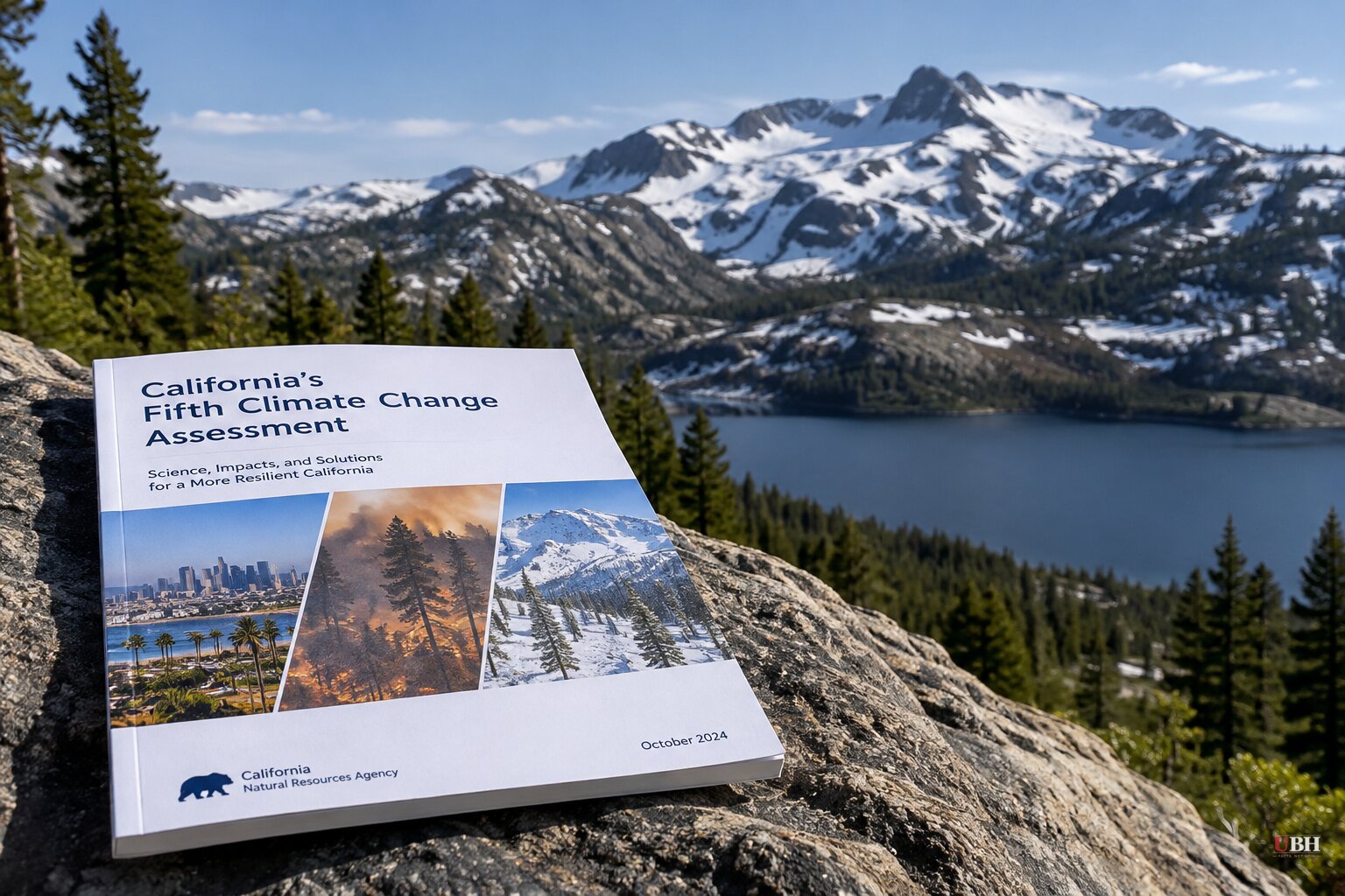
California's Fifth Climate Change Assessment was released today, Oct. 19, and the headline numbers are large.
The report, published by the Governor's Office of Land Use and Climate Innovation with the California Energy Commission and the Natural Resources Agency, projects average temperatures rising about 4 degrees Fahrenheit by the middle of the century. It projects 5 to 8 degrees by 2100.
The assessment describes the current warming as unprecedented compared with the past century and with estimates for the past thousand years.
What the assessment projects
Longer summers. Summer conditions would last an average of 135 days by midcentury. The 1981 to 2010 average was 90 days. Warm weather would also start earlier in spring and run later into fall.
Less snow. The report projects a 40% reduction in the Sierra Nevada snowpack by midcentury. Snowpack works as a natural reservoir, releasing meltwater through the dry months.
As temperatures rise, more precipitation falls as rain. That rain runs off immediately instead of being stored in the mountains, which the report says contributes to more severe droughts.
Smoke and flooding. The assessment warns that wildfire smoke exposure could kill thousands more people a year. It also projects more widespread and extreme flooding.
Vanishing beaches. Without major intervention, as much as three-quarters of the state's beaches could disappear, seasonally or permanently, by 2100 because of coastal erosion.
These are projections, not measurements. The report itself says the severity of impacts in the latter half of the century depends heavily on global greenhouse gas emissions trajectories over the next two decades.
The recent record
The assessment lands after a run of events Californians have lived through. The Union of Concerned Scientists, whose analyst coordinated the San Joaquin Valley regional report for the Fourth Assessment, points to the 2020 to 2022 drought, which left thousands of domestic wells dry. It also cites a winter of atmospheric rivers that brought Tulare Lake back.
This year's April 1 snowpack was just 18% of average, according to the group. It says climate change made that snow drought about four times more likely.
On fire, the group cites the 2025 Palisades and Eaton fires. It puts losses at up to $250 billion, with more than 16,000 structures destroyed, 31 people killed directly and about 440 indirect deaths. It says climate change made the fire weather 35% more likely and 6% more intense. Those attribution figures come from the group and the studies it cites. They are not findings from the state assessment.
Fire is already in the news. Gov. Gavin Newsom declared a state of emergency on Oct. 16 in four counties, including Los Angeles and Orange, for recovery from Tropical Storm Rachel. Evacuation orders were issued as a Southern California wildfire burned homes. Firefighters gained ground on that blaze on Oct. 18, allowing thousands to return home.
Fewer Santa Anas, same danger
A UCLA-led study in the journal Earth's Future complicates the simple version of the story. Researchers found that warming of the Utah and Nevada deserts, faster than the ocean, is already weakening Santa Ana winds. The effect is small. It is erasing about 1 in every 200 wind events now, and by 2100 it would remove 1 in 10 or 20, only the milder ones.
"That's not going to save you much," said Tom Delworth, a senior scientist at NOAA's Geophysical Fluid Dynamics Laboratory, "because it's really the severe ones that do all the damage, and we see no signs those will decrease."
Alexander Gershunov, a Scripps Institution of Oceanography research meteorologist and co-author, said erratic rainfall leaves dry conditions lingering from summer into the wind season. "That means that the window of opportunity for wildfire may still be expanding," he said.
The North Coast
The assessment includes nine regional reports. The North Coast report covers Humboldt, Mendocino, Del Norte, Lake, Siskiyou and Trinity counties. Humboldt Bay is experiencing the state's highest rate of sea-level rise.
The report stresses that the region depends on infrastructure with no backup. When a road or utility fails, the effects cascade through basic services and the local economy.
"We face some significant challenges, from increasing wildfire risk to reliance on roads with limited alternatives," said co-author Rosemary Sherriff of Cal Poly Humboldt. Co-author Andrew Stubblefield, a Cal Poly Humboldt forestry professor, said the region's climate "will continue to change at accelerating rates."
The North Coast report argues that Tribal leadership and local strategies offer more promising pathways than conventional infrastructure approaches.
What comes next
California law now requires these assessments at least every five years. In the meantime, the open question is which of these projections the state acts on first.
The water numbers are the most concrete. If snowpack falls 40% and more precipitation arrives as immediate runoff, reservoirs sized for the old system will capture less of it. The report says this shift forces a fundamental rethink of the state's water management infrastructure.
Sources used for this briefing
6 links from 6 independent newsrooms (syndicated copies of the same report count once)
These are the sources it draws on, linked so you can verify.