
Original briefings. Zero spin.
Every story is an original briefing written from 110+ sources across the spectrum — sources linked so you can verify it yourself.
 tech
Low Interest (4/10)
Event date: August 21, 2026
tech
Low Interest (4/10)
Event date: August 21, 2026
Penn State Scientists Use Thunder to Map What's Underground, No Drilling Required
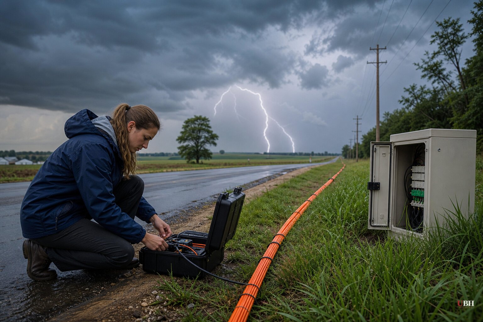
Lightning does more than light up the sky and rattle your windows. Some of that energy sinks straight into the ground and turns into a seismic wave. Researchers at Penn State just figured out how to use that fact to map what's buried beneath our feet, no drilling required.
The study, led by Tieyuan Zhu, associate professor of geosciences at Penn State, and lead author Nolan Roth, was published August 21, 2026 in Science Advances, according to Penn State University's own announcement. Zhu called it "the first successful seismic imaging using thunderquakes."
How It Actually Works
Lightning superheats the air, which creates the shock wave we hear as thunder. When that shock wave hits the ground, part of it transfers into the soil and rock as a seismic vibration, according to Scientific American, which published research authored directly by Zhu and Roth. Scientists call it a thunderquake.
The team didn't need new equipment to catch this. They used an existing telecommunications fiber-optic cable, already buried a few feet under Penn State's University Park campus, the kind of cable that might otherwise just be carrying internet traffic. Using a technique called distributed acoustic sensing, they turned that 2.5-mile cable into more than 2,100 individual vibration sensors spaced just a few feet apart, according to Penn State's official release.
A laser-pulsing device called an interrogator shoots light down the fiber and measures how backscattered light shifts when the cable gets strained by a passing seismic wave. Over two years, the team recorded and identified 458 clear, high-quality thunderquakes.
Why 458 Storms Beat One Truck
Different frequencies of the resulting waves, specifically what the researchers term air-coupled Rayleigh waves, travel at different depths. By tracking how wave speed changed with frequency, the team reconstructed ground properties down to roughly 300 feet, according to Science Magazine's coverage of the study. That's an X-ray of the subsurface with zero holes drilled.
Normal seismic imaging is expensive. It usually requires trucks that pound the ground with vibrations, or arrays of sensors that have to be physically installed and maintained across a survey area. Thunderstorms, by contrast, are free, unpredictable, and already happening everywhere, according to the Scientific American piece by Zhu and Roth themselves.
This approach is most valuable in places where earthquakes are rare, like the central and eastern United States, according to Penn State's release. Traditional passive seismic imaging leans on earthquakes as the energy source. No quakes, no data. Thunderquakes sidestep that entirely. The method could also work in places that are hard to access or heavily regulated, like Arctic terrain or dense urban cores, without disturbing infrastructure or the environment, Penn State noted.
Practical Applications
Zhu told Penn State the technique could help evaluate sinkholes, landslides, groundwater resources, mining sites, and even volcanic magma pockets. Scientific American's version of the piece adds environmental contamination and building-site foundation checks to that list.
None of that requires new sensor networks. It requires storms and cable that's often already in the ground. Fiber-optic lines already run beneath most American cities and towns, according to Yahoo News's republication of the researchers' own writing.
Where the Coverage Lines Up, and Where It Doesn't
Most of the outlets covering this story, including Yahoo News, Business Standard, and Hindustan Times, ran essentially the same first-person account written by Zhu and Roth for The Conversation, so their coverage should be read as one shared account rather than independent verification. Science Magazine and Penn State's own release provide the independent reporting layer, adding direct quotes from Zhu and details on methodology and publication.
Nature's brief item is worth flagging for what it leaves out. It confirms the Science Advances citation and publication details but offers none of the mechanism, sample size, or application specifics found in the other sources. Readers relying on Nature's short note alone wouldn't know the study involved 458 recorded events or a 2.5-mile cable.
What's Still Unproven
This is a proof of concept, not a deployed monitoring system. The study covers one campus, one cable, over two years. Whether the technique scales to noisier urban environments, works reliably across different soil types, or can compete with dedicated seismic arrays on accuracy remains untested outside this single Penn State dataset. The next step, unaddressed in any of the current reporting, is whether other research teams can replicate the results using different fiber networks in different geologic settings.
Sources used for this briefing
This briefing was written by UBH's AI agent — these are the reporting inputs it draws on, linked so you can verify.


