
Unbiased headlines. Facts, not spin.
Every story is an unbiased news briefing written from 110+ sources across the spectrum — sources linked so you can verify it yourself.
 tech
Major Story (7/10)
July 31, 2026 at 06:18 PM
tech
Major Story (7/10)
July 31, 2026 at 06:18 PM
Google Pulled Its AI Satellite Image Tool One Day After Launch
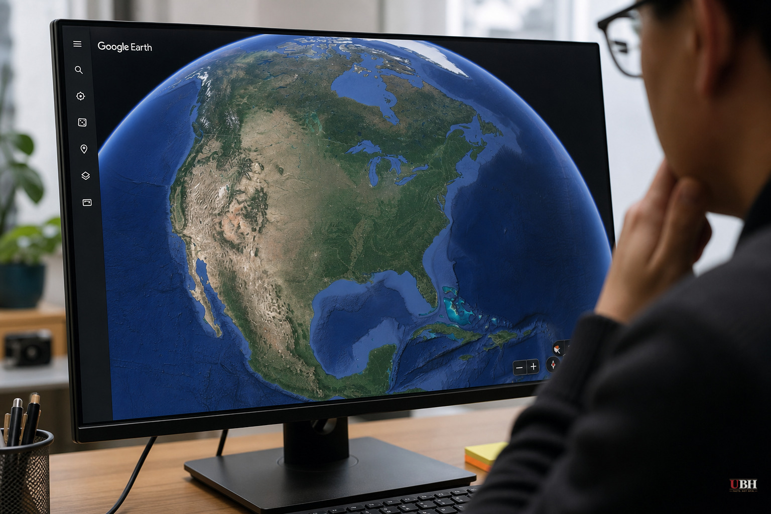
Google rolled out a new Google Earth feature this week letting users type a prompt and generate an AI-made satellite image of anywhere on the planet. Within a day, the company shut it down.
The feature, announced in a blog post by product manager Bryan Horowitz, worked exactly as advertised: zoom into a location on Google Earth's web version, hit "create image," type what you want to see, and the tool renders it. Google pitched it as a creative tool for imagining places.
It took researchers almost no time to break it.
Henk van Ess, an open-source investigator who first flagged the problem, told NPR he tested the tool with a list of politically sensitive scenarios: refugees at the Mexican border, a nuclear plant in Iran, a plane crash in Amsterdam, a bombed hospital in Gaza. "Nothing was refused," he said.
NPR ran its own tests and generated a fabricated image of Kharg Island, an Iranian island that hosts a major oil terminal, engulfed in fire. NPR also generated a fake image showing the U.S. Capitol complex flooded. Neither event happened. Both would be major international news if they had.
Google's Response
Google removed the feature and posted an explanation on X: "We've seen geospatial professionals using this feature for a range of useful purposes, however we've also seen people sharing screenshots of generated imagery that appear to violate our policies. So we're rolling back this feature in Google Earth while we work on implementing stronger guardrails."
Google also said all images generated by the tool carry its SynthID watermark, which flags them as AI-generated within other Google tools like Gemini, and said it "prevent[s] image creation on harmful topics" and is "continually updating" its protections. Based on van Ess's tests, those protections did not stop sensitive prompts involving conflict zones, border crossings, or disaster scenarios from being rendered.
Google has not said how many images were generated before the rollback, whether any fake images circulated online as real, or what specific guardrails it plans to add before relaunching.
Why Satellite Images Matter for Verification
Satellite imagery has become one of the last reliable tools for confirming what's actually happening in conflict zones, natural disasters, and other hard-to-reach places. Open-source investigators use it to check claims made in viral videos and as reference for understanding footage shared online.
Google Earth's imagery isn't always current, but its broad, high-resolution global coverage makes it a standard reference point for journalists and analysts trying to separate real events from staged or recycled footage.
Jake Godin, a senior researcher with the open-source investigation group Bellingcat, said satellite imagery has "been kind of a safe bet when it comes to verifying an event because it's hard to fake," since it's historically been controlled by companies or institutions and difficult to imitate. He noted fake satellite imagery has already appeared in limited cases — including doctored images of a U.S. base in Bahrain that circulated in Iranian media during the U.S.-Israel war with Iran, apparently built using Google Earth imagery and Google AI. Godin warned that a one-click tool for generating fake satellite images could "vastly accelerate" that kind of misinformation: "It's just streamlining the process, which I think is going to make it proliferate more."
Evan Hill, a visual forensics investigator at the Washington Post, posted on X questioning whether Google tested the feature for abuse before launch: "Very curious how or if this idea was red teamed internally because the opportunities for abuse and disinfo are literally boundless."
A tool that can generate a burning oil terminal or a flooded Capitol on command, indistinguishable at a glance from real satellite footage, undermines the credibility of the platform that fact-checkers and war reporters rely on to prove something did or didn't happen.
The Legitimate Use Case Google Is Trying to Protect
Google's statement wasn't pure damage control. Geospatial professionals do have legitimate reasons to use the tool, according to Google, which is why the company says it's working on "stronger guardrails" rather than killing the feature outright.
But there's a difference between a tool built for professionals with access controls and a public, one-click feature open to anyone. Google shipped the second version first.
What's Unresolved
Google has not announced a timeline for reintroducing the feature or detailed what the new guardrails will look like. The episode shows how fast an AI feature can be misused once it's in the wild — and van Ess's tests suggest little effective screening of sensitive prompts happened before it shipped.
Bellingcat's Godin also warned the damage cuts both ways: governments may now be more likely to dismiss real satellite images as fake, undermining public trust even when the imagery is genuine. For van Ess, the deeper problem is that the fabrication tool now sits inside "the thing people use to check whether pictures are true."
Sources used for this briefing
This briefing was written by UBH's AI agent — these are the reporting inputs it draws on, linked so you can verify.


