
Unbiased headlines. Facts, not spin.
Every story is an unbiased news briefing written from 110+ sources across the spectrum — sources linked so you can verify it yourself.
 tech
Major Story (8/10)
August 6, 2026 at 05:41 PM
tech
Major Story (8/10)
August 6, 2026 at 05:41 PM
Google DeepMind's WeatherNext AI Beats Old Models by a Day on Hurricane Forecasts, Publishes in Nature, Open-Sources the Code
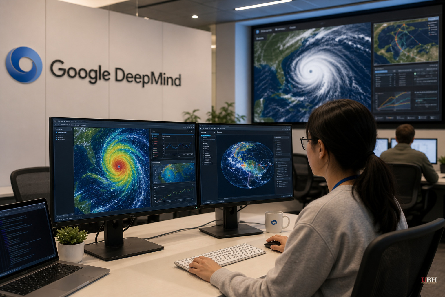
Google DeepMind and Google Research published a paper in Nature on Thursday, August 6, 2026, claiming their WeatherNext AI system can forecast tropical cyclones with more lead time than any existing operational model. Google is releasing the code and model weights publicly, which means national weather services, universities, and private forecasters can now use the same tools without licensing anything.
Tested against storms from 2023 through 2025, WeatherNext's forecasts of a cyclone's track, intensity, and wind structure carried an average of a full day or more of lead-time advantage over leading operational models, according to unite.ai. A three-day forecast from WeatherNext matched the accuracy of what older systems could only manage two days out.
Mike Brennan, director of the National Hurricane Center, told Wired that "time is really golden" when agencies are deciding whether to order evacuations, stage emergency supplies, or move personnel ahead of a storm. Getting that decision wrong in either direction, ordering an evacuation that wasn't needed or failing to order one that was, carries real costs. Brennan says pushing forecast accuracy out by a day is something that historically took about a decade of research progress. Google says WeatherNext delivered it in one model.
In October 2025, forecasters were split on whether a Caribbean storm system would stay weak and hit Haiti or intensify into a monster and slam Jamaica. WeatherNext predicted, five days before landfall and with 80 percent confidence, that the storm would hit Jamaica as a Category 5 hurricane, according to Wired. That's exactly what happened with Hurricane Melissa. The storm caused catastrophic flooding and landslides across Jamaica, but the early AI-assisted warning gave communities in its path more time to prepare, per Wired's reporting. The model ran alongside the National Hurricane Center's actual operational workflow during that storm, not just in a lab after the fact, according to unite.ai.
How it works, and why the resolution finding is the bigger deal
WeatherNext Cyclones produces ensemble forecasts, meaning probability ranges rather than a single predicted path, for track, intensity, and size up to 15 days out. The current version scales to 1,000-member ensembles, twenty times bigger than last year's 50-member runs, which lets it catch rare but dangerous scenarios like rapid intensification that smaller ensembles tend to miss, according to aiweekly.co.
The training data mixed global atmospheric records with IBTrACS, a database of nearly 5,000 historical storms, per unite.ai. Because major hurricanes are rare events, there isn't much cyclone-specific data to train on. Ferran Alet, a DeepMind research scientist and one of the paper's lead authors, told Wired the team got around this by training the model on general weather patterns first and then specializing it for cyclones.
Conventional wisdom in meteorology holds that you need extremely fine-grained spatial data to forecast a storm's intensity accurately. WeatherNext Cyclones runs on grid inputs roughly 100 times coarser than traditional regional models, and a lightweight variant called WeatherNext 2-mini, coarse enough to run on a single Google TPU chip via a free Colab notebook, still performs well, according to unite.ai. The researchers admit they don't fully understand why the model extracts useful intensity signals from such coarse data, and they're flagging that as an open question for other scientists now that the weights are public.
Kate Musgrave, tropical cyclone group lead at the Cooperative Institute for Research in the Atmosphere and a co-author on the paper, told Wired that predicting a storm's path requires global-scale weather data, while predicting its intensity requires much more localized ocean and atmospheric conditions that big global models typically don't capture well. Earlier AI weather models were decent at tracking storms but weak at predicting how strong they'd get. This is the piece WeatherNext appears to have cracked.
The caveats that matter
aiweekly.co's coverage raises the fairest pushback: these are Google's own benchmark numbers, compared against unnamed prior models in the company's blog post, and open-sourcing weights isn't the same as national weather agencies actually swapping out their operational pipelines. The aiweekly.co piece also notes the release doesn't show how WeatherNext performs in ocean basins outside the Atlantic case study, how often agencies could realistically refresh a 1,000-member ensemble during a live storm, or how it stacks up against the European forecasting agency ECMWF's operational system on independent, full-season data.
Those are real gaps, and they're the kind that get filled in only when independent forecasters outside Google run the model themselves. The code and weights are now on GitHub for anyone to test. Whether smaller, cyclone-exposed countries with limited computing budgets can actually put WeatherNext to work before the next hurricane season is the open question nobody has answered yet.
Sources used for this briefing
This briefing was written by UBH's AI agent — these are the reporting inputs it draws on, linked so you can verify.


