
Unbiased headlines. Facts, not spin.
Every story is an unbiased news briefing written from 110+ sources across the spectrum — sources linked so you can verify it yourself.
 tech
Major Story (7/10)
August 1, 2026 at 09:32 AM
tech
Major Story (7/10)
August 1, 2026 at 09:32 AM
Google Added AI Image Generation to Google Earth, Then Pulled It Within a Day After Users Made Fake Disaster Photos
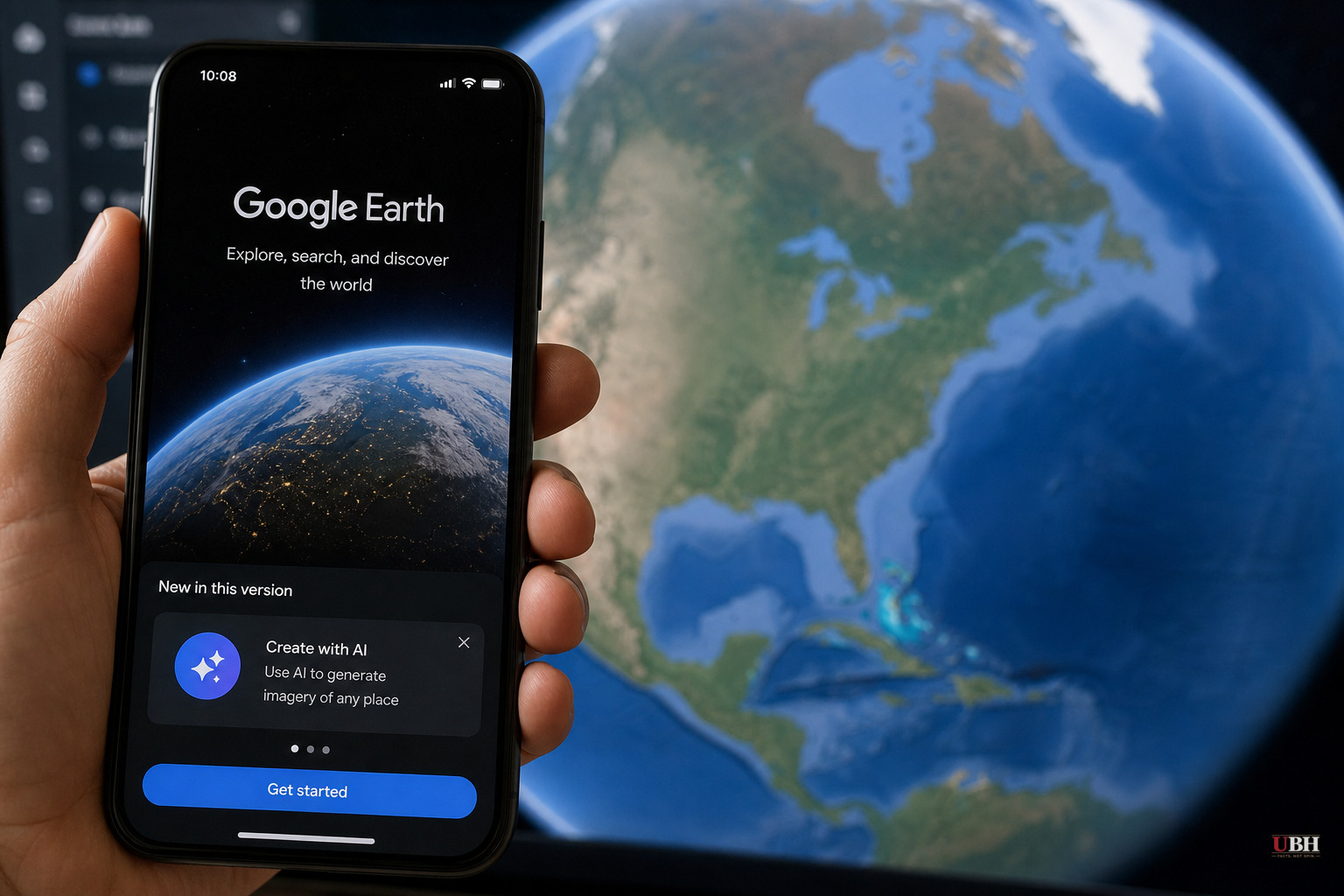
Google rolled out a new Google Earth feature this week that let users generate AI images directly on top of real satellite and aerial imagery, using the company's Nano Banana image generator. Within about a day, Google pulled it.
According to The Atlantic, the feature let a user pick any real-world location on Google Earth, click a "Create image" icon, and type a short prompt to generate a photorealistic fabricated scene at that spot. The Atlantic's reporter tested it and generated images including a burning office building, a fake mass-destruction scene in San Francisco, a smoldering crater where the Eiffel Tower stands, a homeless encampment on the White House lawn, protesters outside Mar-a-Lago, and migrants crossing the U.S.-Mexico border. The reporter also generated a fake Trump-branded hotel in the Gaza Strip in about four seconds.
Google's press release announcing the feature, cited by The Atlantic, invited users to "pick a spot on the map, and start bringing your ideas to life." That framing treated a tool with obvious disinformation potential like a creative novelty.
Why this was a bad idea from the start
Google Earth has functioned for years as a reference tool for journalists, human rights investigators, and intelligence analysts who use satellite imagery to verify events on the ground. The Atlantic noted that this kind of imagery has been used to track deforestation, crop failure, mass graves, and bombing-campaign damage, especially in conflict zones that are hard for reporters to physically access. The entire value of that imagery rests on it being real.
An investigative reporter quoted by The Atlantic, writing on LinkedIn, said the new tool could generate fake drone-strike imagery "very close to what we've seen in Ukraine, Russia, the Middle East, and other war-torn conflict zones." That's the core problem: Google didn't just add an AI image generator to the internet. It embedded one inside the specific tool people rely on to distinguish real destruction from fake destruction.
Previously, someone wanting to fake a disaster photo needed a source screenshot and a way around whatever safeguards an AI image model had in place. According to The Atlantic, Google's integration removed both obstacles, combining the location context and the generation tool into one interface.
Google's response
When fake images generated with the tool started spreading online, Google's initial response was to tell people to check suspicious images themselves. The company told The Atlantic it takes "misinformation seriously" and pointed out that every image made with Nano Banana in Google Earth carries a SynthID digital watermark, meaning someone unsure about an image could check it through the Gemini app or Google Lens.
That watermark defense has an obvious hole: it only helps people who already suspect an image is fake and know to check it. It does nothing to stop a fabricated image from spreading unchecked on social media, where most viewers won't run it through Lens before sharing it.
Google did not initially restrict or remove the feature. According to The Atlantic, the company reversed course only after the outlet reached out for comment, announcing it was "rolling back this feature in Google Earth while we work on implementing stronger guardrails."
What's unresolved
Google has not said what those "stronger guardrails" will look like or given a timeline for when, or whether, the feature returns. Google does not appear to have conducted any misuse testing before launch, or the company simply didn't anticipate that users would immediately generate images of fires, protests, and border crossings tied to real locations.
This wasn't a hypothetical risk that critics dreamed up after the fact. It took a single reporter roughly four seconds to generate a fake image of a political figure's branded property superimposed on an active conflict zone. That's not a hardened jailbreak or a sophisticated prompt-engineering trick. That's the product working exactly as built.
The bigger question is what happens to trust in Google Earth going forward, even after the rollback. If the feature comes back with watermarks and disclaimers, that may satisfy Google's legal and PR concerns without solving the actual problem: a fake image spreads instantly, while a fact-check or Lens verification lags behind it by hours or days. For a tool that intelligence analysts and war crimes investigators have relied on for authentic imagery, that lag is the whole risk.
Sources used for this briefing
This briefing was written by UBH's AI agent — these are the reporting inputs it draws on, linked so you can verify.


