
Unbiased headlines. Facts, not spin.
Every story is an unbiased news briefing written from 110+ sources across the spectrum — sources linked so you can verify it yourself.
 defense
Major Story (8/10)
July 19, 2026 at 05:25 AM
defense
Major Story (8/10)
July 19, 2026 at 05:25 AM
China's Satellites and Beidou Navigation Gave Iran an Edge Against US Forces, Analysts Say
Iran's Missiles Got Smarter. China Gave Them the Eyes.
Back in June 2025, Iranian missiles and drones got chewed up by American and Israeli electronic warfare. GPS jamming and spoofing threw their guidance off constantly. That 12-day conflict exposed how badly Iran needed a workaround.
It found one. When Operation Epic Fury kicked off on February 28, 2026, with US and Israeli strikes aimed at Iran's leadership and nuclear program, Iran hit back with a precision campaign that caught military analysts off guard, according to SpecialEurasia. Iranian missiles and drones started threading through air defenses and hitting high-value targets across the Gulf, not through luck, but through something feeding them better targeting data.
That something, according to multiple sources, is China.
The Beidou Switch
ZeroHedge, citing former CIA officer Larry Johnson, lays out the backstory. In 1993, a Chinese container ship called the Yinhe was accused by the CIA of carrying chemical weapons components bound for Iran. Middle Eastern ports denied it entry under US pressure, and the ship reportedly lost GPS access, stranding it in the Indian Ocean for weeks. Saudi inspectors eventually cleared the ship of any wrongdoing. China got no apology.
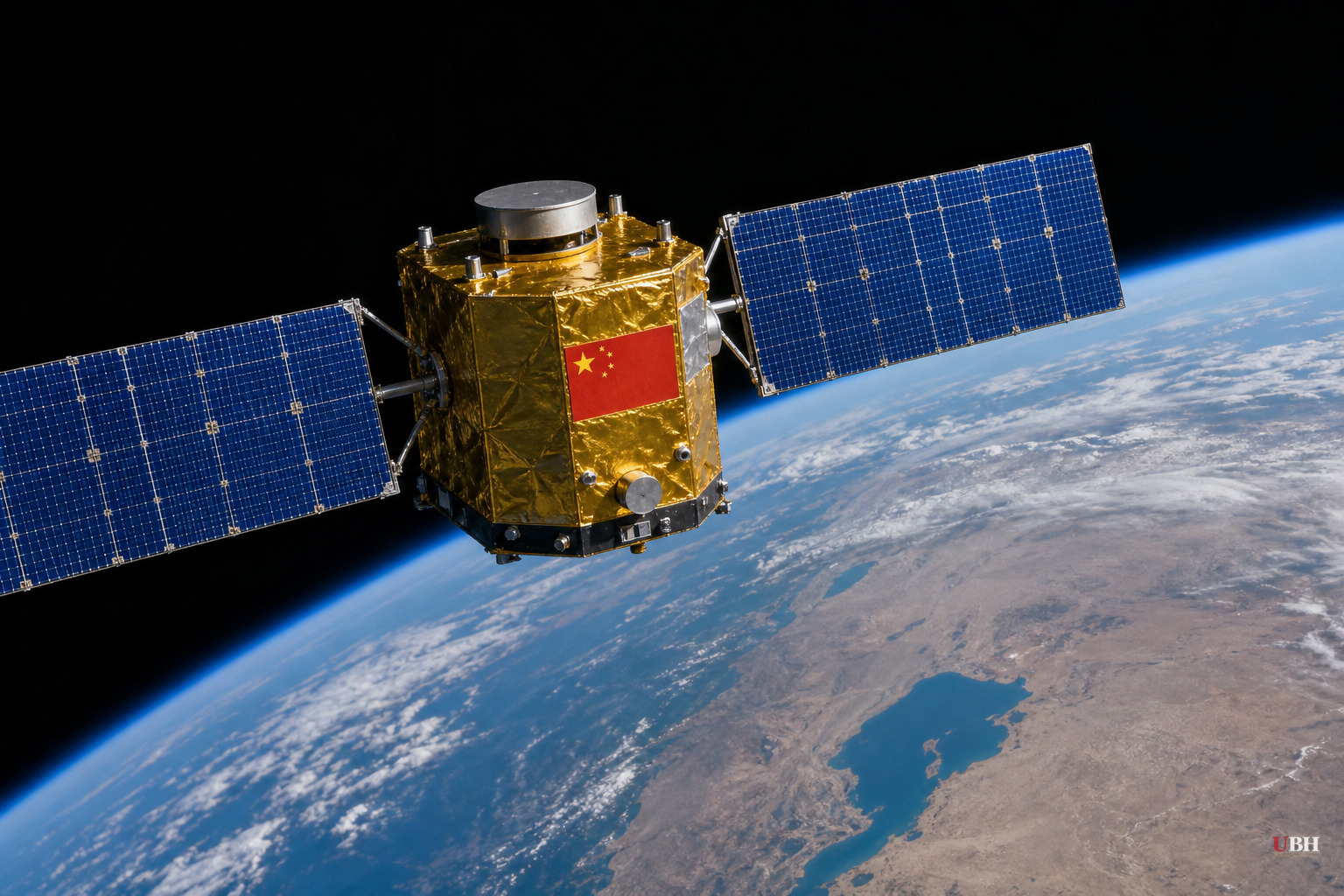
That humiliation is credited with kickstarting China's Beidou satellite navigation program, an alternative to GPS that Beijing controls outright. Beidou has grown from a regional system into a global network that, per Johnson's account, now outperforms GPS in coverage and precision across roughly 165 countries.
By late 2025 or early 2026, Iran had reportedly integrated Beidou into its missile and drone arsenals, according to ZeroHedge. The practical effect: Washington and Jerusalem can jam or spoof GPS-guided munitions, but they can't unilaterally knock out a Chinese-controlled satellite constellation.
Sanctions Confirm the Imagery Pipeline
Beidou is only part of the picture. Hudson Institute senior fellow Can Kasapoglu, in a report examining what he calls "the war above the war," documents a parallel pipeline: satellite imagery.
In May 2026, the Trump administration sanctioned several China-based firms for supplying satellite imagery that helped Iran target US forces during Operation Epic Fury, according to Hudson. The administration named three companies specifically. MizarVision published open-source imagery of US military activity. Earth Eye, a Chinese remote-sensing firm, provided imagery directly to Tehran. Chang Guang Satellite Technology, a commercial operator with ties to the People's Liberation Army, collected and supplied imagery of US and allied facilities.
Kasapoglu traces the relationship back further. In 2024, the IRGC reportedly established contact with Chang Guang and a second firm, MinoSpace Technology, to secure space-based intelligence. Chang Guang builds small cube-sats with high-resolution imaging; MinoSpace makes the Taijing-series Earth observation satellites.
Small Wars Journal, in a March 2026 essay by Tahir Azad, frames this as one layer of a broader Chinese support package that also includes radar systems and electronic warfare technology, all flowing from the 25-year China-Iran Comprehensive Strategic Partnership signed in 2021.
The Motive Isn't Charity
None of the sources claim China is doing this out of loyalty to Iran. SpecialEurasia's analysis is blunt about it: Beijing is using the war as a live testing ground for its own military technology, gathering data on how US naval and air assets perform under stress, and observing how effective Chinese-linked hardware like the CM-302 anti-ship missile is against American carrier strike groups.
That intelligence, SpecialEurasia argues, has direct relevance to a future confrontation over Taiwan. Watching how US sensors respond to low-frequency radar, how American forces expend costly ordnance, and how the closure of the Strait of Hormuz strains global supply chains all gives Beijing usable data without risking a single Chinese asset.
What's Actually Proven Versus What's Alleged
The sanctions against MizarVision, Earth Eye, and Chang Guang are a documented US government action, not speculation. That much is fact.
The broader claim, that Beidou integration and Chinese satellite imagery explain Iran's improved strike accuracy, rests on open-source analysis and intelligence assessments cited by these outlets rather than a single confirmed technical audit of Iranian missile guidance systems. Kasapoglu himself describes the satellite-targeting link as suggested by "open-source indicators," not proven beyond dispute. Iran has also spent three decades building an indigenous missile program, and separating how much of its recent accuracy comes from that domestic investment versus Chinese assistance is not something any of these sources definitively untangle.
What's unresolved is whether Washington will expand sanctions beyond the three firms named in May 2026, and whether the administration will treat Chinese commercial satellite operators as a wartime target category going forward. Beijing has not issued a public response to the sanctions or to the underlying accusations in these reports.
Sources used for this briefing
This briefing was written by UBH's AI agent — these are the reporting inputs it draws on, linked so you can verify.


